What is recorded here
In rough grazing, on NW side of drain. Irregular mound of burnt material (18.4m N-S; 14.9m E-W; H 0.6m). Three depressions in mound probably result of recent digging. Second fulacht fiadh (11029) c. 100m to SW.
The above description is derived from the published 'Archaeological Inventory of County Cork. Volume 4: North Cork' (Dublin: Stationery Office, 2000). In certain instances the entries have been revised and updated in the light of recent research.
Date of upload/revision: 14 January 2009
The monument record does not grant public access. Check the route and ask the landowner before entering private land.
- What survives
- Recorded monument
Places near here
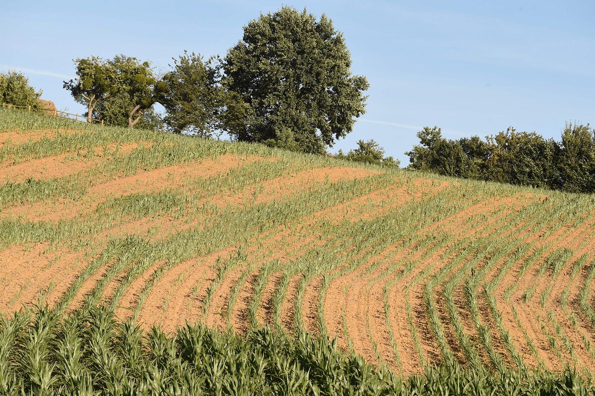 Burnt spread in Curraghcloonabro EastBurnt spread · 811 yd
 Fulacht fia in Ardglass (orrery and Kilmore By., Shandrum Par.)Fulacht fia · 1310 yd
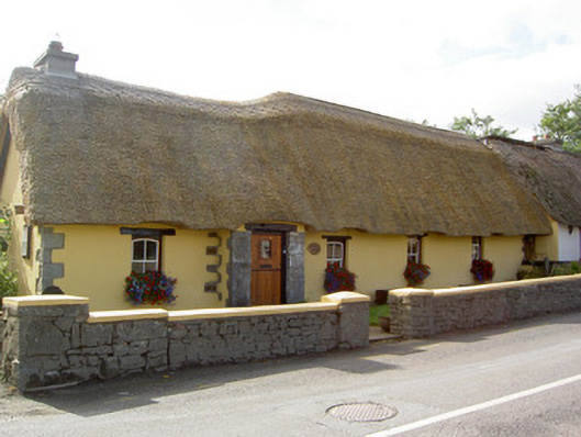 Bridge Househouse · 1447 yd
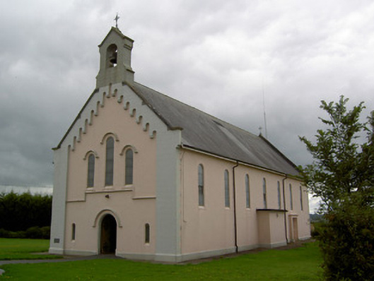 Saints Peter and Paul Churchchurch/chapel · 1.0 mi
 Castle (Site of)Castle, unclassified · 1.2 mi
 Windmill HillMountain / peak · 2.8 mi
 CastleCastle, motte · 3.2 mi
 Ballyhoura WayWalking route · 4.0 mi
 Battle of LiscarrollMajor battlefield · 4.0 mi
 Churchtown TrailsVisitor information · 4.9 mi
 Holy Cross CemeteryGraveyard · 4.9 mi
 Stanner's Glen, Priory WoodWood · 9.8 mi