What is recorded here
A brown/black stony spread (11.2m E-W; min. 8.2m N-S; max. D 0.03m) was discovered in 2008 during archaeological testing in advance of the development of a single dwelling. This material was encountered in two test-trenches, which were at right angles to each other, and while its full E-W extent was determined, its N-S limit was not established. It was recommended that the burnt spread be preserved in situ. This burnt spread lies c. 38m S of a fulacht fia (CO007-173----) and c. 60m S of a rath (CO007-013002-). Another fulacht fia (CO007-013001-) lies c. 120m to the NNW. (Quinn 2008, 1-8)
The above description is derived from 'The Archaeological Inventory of County Cork. Volume 5' (Dublin: Stationery Office, 2009).
Date of upload: 22 December 2009
The monument record does not grant public access. Check the route and ask the landowner before entering private land.
- What survives
- Recorded monument
Places near here
 Fulacht fia in Ardglass (orrery and Kilmore By., Shandrum Par.)Fulacht fia · 1482 yd
 Field system in Ardglass (orrery and Kilmore By., Shandrum Par.)Field system · 1740 yd
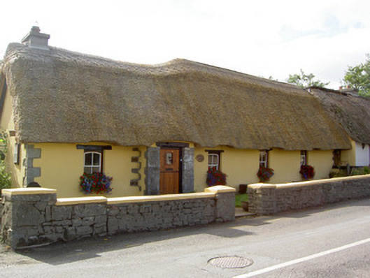 Bridge Househouse · 1.0 mi
 Cill ma Guaire (in Ruins)Church · 1.1 mi
 Castle (Site of)Castle, unclassified · 1.6 mi
 Castle (in Ruins)Castle, Anglo-Norman masonry castle · 3.1 mi
 Windmill HillMountain / peak · 3.2 mi
 Ballyhoura WayWalking route · 4.3 mi
 Battle of LiscarrollMajor battlefield · 4.5 mi
 Holy Cross CemeteryGraveyard · 4.7 mi
 Churchtown TrailsVisitor information · 5.3 mi
 National Co-op MuseumMuseum · 5.5 mi
Other information
Photo: Credit not shown in the picture search · Rights wording not checked; contact us if this picture should be removed