What is recorded here
Located in a pocket of peat, at the base of a hill at the interface between zones of peat and dry pasture land. This fulacht fia was discovered during archaeological monitoring of the Lough Mask Regional Water Supply Scheme (2001-2002) and was subsequently fully excavated (01E0967) (Guinan 2015, 74-83; 87-89, Kildarra I). This fulacht fia consisted of a compact, irregular-shaped spread (5.3m N–S; 2.3m E–W) of heat-shattered sandstone and some limestone fragments, in a matrix of charcoal-rich peat. The mound had suffered disturbance in the past. A subcircular trough, cut into the underlying boulder clay, was located 1.3m E of the burnt stone. The trough (L 1.2m; Wth 0.7m; D 0.62m) had steep sides and a flat base. Alder wood chips, a degraded timber post and two unidentifiable fragments of burnt bone were found in the trough fill. Part of a blackthorn post (diam. 0.05m) was preserved where it had been driven into the ground on the S edge of the trough. A cluster of timber posts (diam. 0.02-0.05m), forming an arc, were found 2.5m to SE of the trough. A charcoal sample submitted for radiocarbon analysis produced a date (2500 +/-45 BP (800-409 BC) indicating the latter stages of the Late Bronze Age. Another fulacht fia (MA102-63----) was located 50m to S. (Guinan 2015, 74-83; 87-89).
Compiled by: Jane O’ Shaughnessy
Date of upload: 3 March 2016
The monument record does not grant public access. Check the route and ask the landowner before entering private land.
- What survives
- Recorded monument
Places near here
 St Bridgets WellsHoly well · 512 yd
 CastleCastle, unclassified · 820 yd
 IndicatedCastle, motte · 1.4 mi
 LisgortnalassFairy fort / earthen ringfort · 1.4 mi
 Saint Mary's Catholic Churchchurch/chapel · 1.6 mi
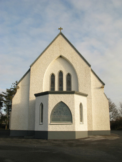 Catholic Church of Saint Theresa of the Little Flowerchurch/chapel · 1.9 mi
 Oak WoodForest · 6.1 mi
 Land of the GiantsHeritage attraction · 7.0 mi
 Geoffrey's WoodForest · 7.0 mi
 Mass RockNamed rock · 13 mi
 Knockanroe FortEnclosure · 1.7 mi
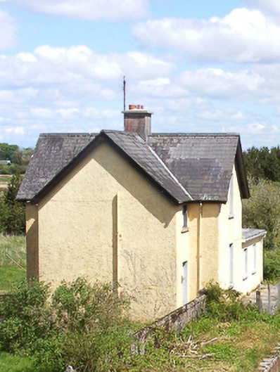 Bekan Railway Stationstation master's house · 1.9 mi