What is recorded here
Excavated in advance of construction of the N9/N10 Kilcullen-Waterford Road (Excavation Licence number E2575). A burnt spread (L 10.5m; Wth 10.3m; D 0.3m) overlay a timber-lined trough and two pits. It was situated c. 17m to the N of a second fulacht fia (CW008-069----) and 30m S of a third (CW008-070----). (Hegarty L. 2009, 44; O' Connell T.J. 2009)
References:
Hegarty L. (2009) 'Johnstown Fulachta fiadh' in I. Bennett (ed.), Excavations 2006: summary accounts of archaeological excavations in Ireland, 44 (184). Bray. Wordwell
O' Connell T. J. 2009 N9/N10 Kilcullen to Waterford Scheme: Kilcullen to Powerstown. Archaeological Services Contract No. 4 - Resolution, Prumpelstown to Powerstown. Final Report on archaeological investigations at Site E2575, in the townland of Johnstown, Co. Carlow. Unpublished report, Headland Archaeology (Ireland) Ltd., Cork.
Compiled by: Claire Breen
Date of upload: 10 November 2010
The monument record does not grant public access. Check the route and ask the landowner before entering private land.
- What survives
- Recorded monument
Places near here
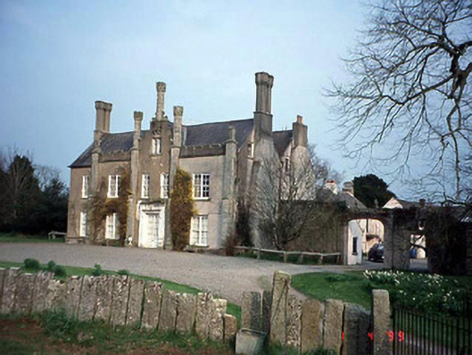 Johnstown Housecountry house · 463 yd
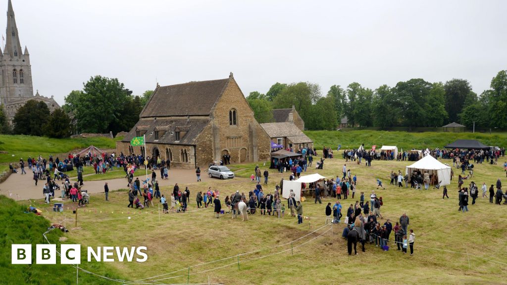 Enclosure in Urglin OR RutlandEnclosure · 756 yd
 Ecclesiastical enclosure in BusherstownEcclesiastical enclosure · 1030 yd
 Urglin Churchchurch/chapel · 1350 yd
 Brownshill Portal TombVisitor information · 1.3 mi
 Graigue Castle in ruinsCastle, unclassified · 1.3 mi
 Site of CastleCastle, unclassified · 1.4 mi
 Cork oakCork oak · 1.6 mi
 European YewEuropean Yew · 1.7 mi
 Church (in Ruins), GraveyardChurch · 2.4 mi
 VISUAL Centre for Contemporary ArtGallery · 3.4 mi
 Kilmurry Church (in ruins), GraveyardChurch · 4.3 mi