What is recorded here
Situated in a level landscape and c. 16m S of a canalised NW-SE stream. This is an oval stony mound (dims 10m E-W; 6.6m N-S; H 0.8m) with a clay mantle in places and evidence of charcoal associated with the mantle.
The above description is derived from the published 'Archaeological Inventory of County Meath' (Dublin: Stationery Office, 1987). In certain instances the entries have been revised and updated in the light of recent research.
Compiled by: Michael Moore
Date of revision: 28 February 2019
The monument record does not grant public access. Check the route and ask the landowner before entering private land.
- What survives
- Recorded monument
Places near here
 CastleCastle, unclassified · 524 yd
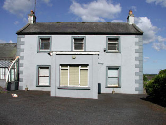 Castletown Housefarm house · 1069 yd
 Fraine CastleCastle, tower house · 1146 yd
 IndicatedFairy fort / earthen ringfort · 1162 yd
 FraineMountain / peak · 1174 yd
 Fort woodedFairy fort / earthen ringfort · 1438 yd
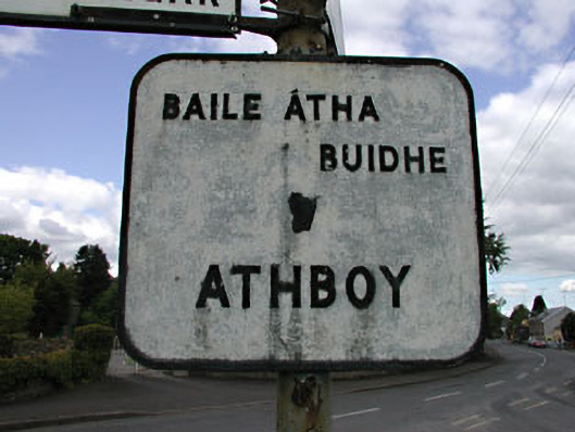 sign postsign post · 1457 yd
 Beggarbush WoodWood · 3.6 mi
 Moneen WoodWood · 3.7 mi
 Drewstown LittleMountain / peak · 3.7 mi
 FarmaphobiaHeritage attraction · 4.0 mi
 Causey FarmHeritage attraction · 4.0 mi