
What is recorded here
Situated on a rise in a gently undulating landscape. This is an oval grass and scrub-covered area (dims 39m N-S; 26m E-W) defined by a scarp (H 2m at W to 3.2m at E) with some trees and a rounded fosse (at W: Wth of top 7.5m; ext. D 0.6m) that is separated by a berm (at W: Wth 4m) from the base of the scarp. There is an old quarry inside the perimeter at N and a broad inner scarp (Wth 7m; H 1m) extends NE-E. There is an entrance ramp at S.
The above description is derived from the published 'Archaeological Inventory of County Meath' (Dublin: Stationery Office, 1987). In certain instances the entries have been revised and updated in the light of recent research.
Compiled by: Michael Moore
Date of revision: 28 February 2019
The monument record does not grant public access. Check the route and ask the landowner before entering private land.
- What survives
- Recorded monument
Places near here
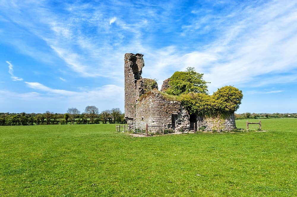 CastleCastle, tower house · 1492 yd
 post boxpost box · 1.0 mi
 IndicatedFairy fort / earthen ringfort · 1.1 mi
 FraineMountain / peak · 1.1 mi
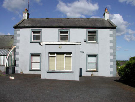 Castletown Housefarm house · 1.1 mi
 Fraine CastleCastle, tower house · 1.2 mi
 Enclosure in GreenanstownEnclosure · 1.2 mi
 Persian WalnutPersian Walnut · 3.2 mi
 European YewEuropean Yew · 3.3 mi
 Drewstown LittleMountain / peak · 3.4 mi
 FarmaphobiaHeritage attraction · 4.1 mi
 Causey FarmHeritage attraction · 4.1 mi
Other information
Photo: Credit not shown in the picture search · Rights wording not checked; contact us if this picture should be removed