What is recorded here
Hot stones cracked and hissed in shallow oval pits on level Meath land, marking a fulacht fia where people boiled water or cooked food before the site disappeared under grass. The preserved buffer keeps that forgotten kitchen visible in memory, even though no named hand remains to point at the trough.
Situated on a level landscape. The geophysical survey (17R0153) of an extensive area (dims c. 650m NW-SE; c. 200-280m NE-SW) identified several potential archaeological features, some of which were tested (17E0458) archaeologically. An oval pit (dims 3.2m x 1.7m; D 0.32m) with a second pit (dims 2.7m x 0.9m; D 0.3m) nearby were both filled with fire-cracked stones. They are probably troughs from a fulacht fia, and there are two small spreads (diam. 1.1-1.3m: 0.4m) of the same material in the vicinity. The monument will be preserved in situ with a buffer zone (diam. 50m). (Shine 2017, 7-9)
Compiled by: Michael Moore
Date of upload; 26 February 2021
The monument record does not grant public access. Check the route and ask the landowner before entering private land.
- What survives
- Recorded monument
Places near here
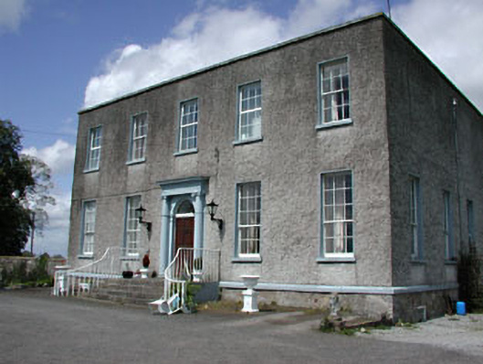 Newhaggard Housemiller's house · 1011 yd
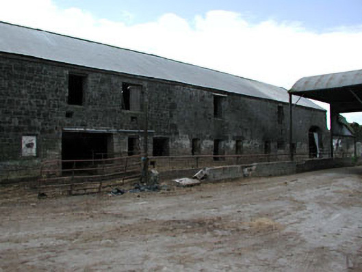 outbuildingoutbuilding · 1164 yd
 EnclosureEnclosure, large enclosure · 1470 yd
 Enclosure in Manorland (2nd Division)Enclosure · 1567 yd
 Trim CastleCastle, Anglo-Norman masonry castle · 1.3 mi
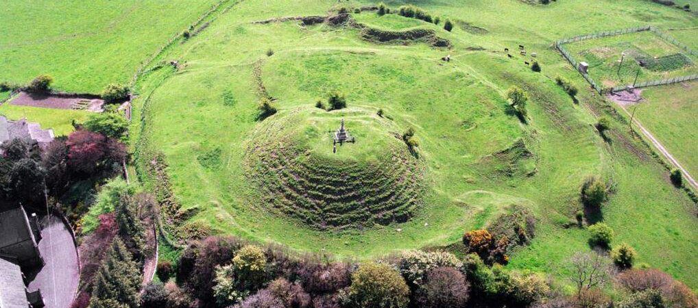 CastleCastle, motte · 1.8 mi
 Saints IslandForest · 3.8 mi
 Wych ElmWych Elm · 4.9 mi
 Old Bog Road made famous by Teresa Bryton 1868-1943Memorial · 8.8 mi
 Cloncurry GraveyardHeritage attraction · 8.9 mi
 Kilgar GardensHeritage attraction · 9.0 mi
 MullaghMountain / peak · 9.6 mi