What is recorded here
Discovered during archaeological monitoring of topsoil removal, along a pipeline corridor for a drainage scheme (Excavation Licence 00E0698). Consisted of a trough (L 3.3m; Wth 1.8m; D 0.85m) and a small spread of burnt stones and charcoal rich clay, the latter did not fully seal the trough or extend beyond it. (Bolger 2002, 227-8)
Reference:
Bolger, T. 2002 Farrandreg, Dundalk. In I. Bennett (ed.), Excavations 2000: summary accounts of archaeological excavations in Ireland, 227-8 (No. 676). Bray. Wordwell.
Compiled by: Claire Breen
Date of upload: 24 November 2011
The monument record does not grant public access. Check the route and ask the landowner before entering private land.
- What survives
- Recorded monument
Places near here
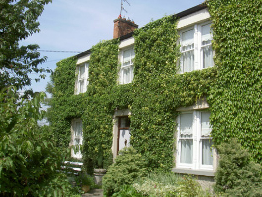 Glendine Househouse · 622 yd
 Dun Dealgan (Man-made underground passage)Man-made underground passage · 757 yd
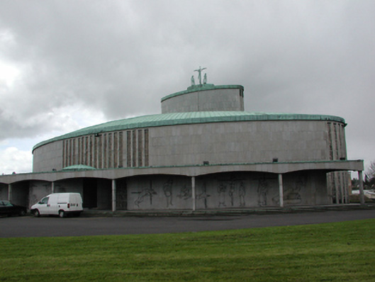 Catholic Church of the Holy Redeemerchurch/chapel · 773 yd
 Castletown MotteArchaeological place · 780 yd
 Dun DealganCastle, motte and bailey · 781 yd
 Man-made underground passage in DemesneMan-made underground passage · 1076 yd
 Dundalk CentralHeritage attraction · 1196 yd
 Photo GalleryHeritage attraction · 1242 yd
 Maid of ErinMemorial · 1.0 mi
 Bombing 1975Memorial · 1.1 mi
 Battle of FaughartMajor battlefield · 3.0 mi
 Soldiers' PointHeadland · 3.2 mi