What is recorded here
Discovered during monitoring of topsoil stripping in advance of a housing development (Excavation Licence No. 01E1009). Excavation revealed a spread of burnt stones and charcoal, underneath which were two troughs and a hearth. One trough was sub-rectangular in shape while the other was rectangular and had a stakehole in each corner. (Danaher 2003, 263)
Reference:
Danaher, E. 2003 Farrandreg, Dundalk. In I. Bennett (ed.), Excavations 2001: summary accounts of archaeological excavations in Ireland, 263 (No. 856). Bray. Wordwell.
Compiled by: Claire Breen
Date of upload: 01 December 2011
The monument record does not grant public access. Check the route and ask the landowner before entering private land.
- What survives
- Recorded monument
Places near here
 Church (in Ruins)Church · 635 yd
 Dun Dealgan (Man-made underground passage)Man-made underground passage · 636 yd
 Castletown MotteArchaeological place · 655 yd
 Dun DealganCastle, motte and bailey · 658 yd
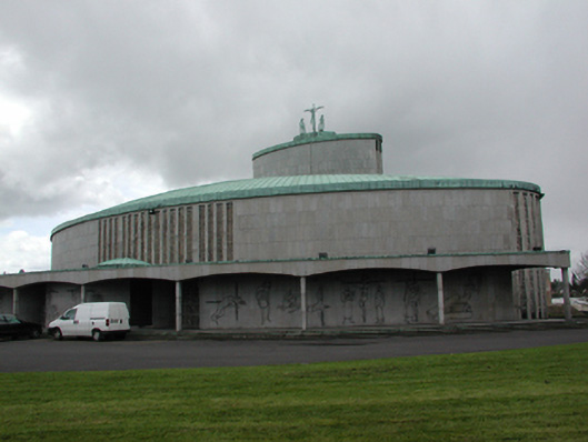 Catholic Church of the Holy Redeemerchurch/chapel · 765 yd
 Man-made underground passage in DemesneMan-made underground passage · 1215 yd
 Dundalk CentralHeritage attraction · 1235 yd
 Photo GalleryHeritage attraction · 1304 yd
 Maid of ErinMemorial · 1670 yd
 Bombing 1975Memorial · 1720 yd
 Battle of FaughartMajor battlefield · 2.7 mi
 Soldiers' PointHeadland · 3.0 mi