What is recorded here
According to Denis and Josephine Holly (1981), 'before the road leading to Dooncaha bog was completed many years ago, a small mound of dark coloured, broken and brittle stones could be observed in the lane almost opposite Billy McDonnell's house.' No trace of this site can be seen today.
The above description is derived from C. Toal, ‘North Kerry Archaeological Survey’. Dingle. Brandon in association with FAS Training and Employment Authority (1995), no. 37. In certain instances the entries have been revised and updated in the light of recent research.
Date of upload: 1 August 2013
The monument record does not grant public access. Check the route and ask the landowner before entering private land.
- What survives
- Recorded monument
Places near here
 Fulacht fia in CarhoonaFulacht fia · 868 yd
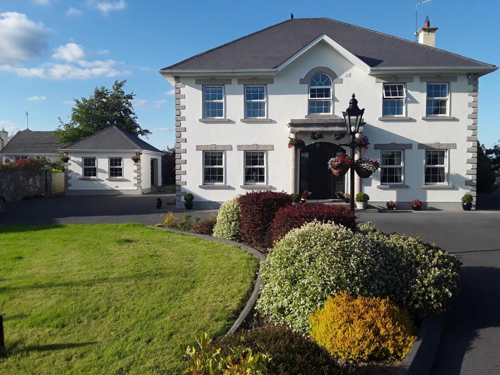 Enclosure in Doonard UpperEnclosure · 1330 yd
 Tarmon Castle (in ruins)Castle, unclassified · 1.1 mi
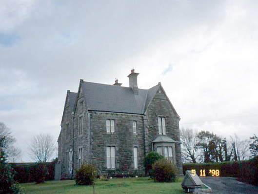 The Presbyterypresbytery/parochial/curate's house · 1.3 mi
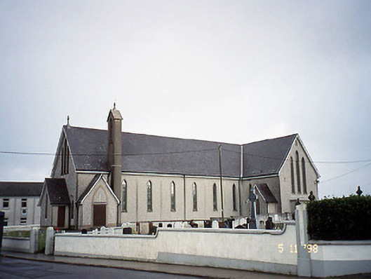 Saint Mary's Catholic Churchchurch/chapel · 1.4 mi
 Tarbet BayBay · 2.2 mi
 Labasheeda Fort (19th Century)Castle · 3.9 mi
 Siege of Carrigafoyle Castlesiege · 4.6 mi
 Ballymacrinan BayBay · 4.7 mi
 Carrig IslandIsland · 4.9 mi
 St Senan's WellSpring · 5.6 mi
 Mountshannon WoodWood · 6.0 mi