What is recorded here
Situated on slightly rising pastureland, this site is marked on the 1841-42 OS map as a large circular enclosure. It does not appear on the later edition, and a quarry would appear to have completely engulfed this site. Toal, ‘North Kerry Archaeological Survey’. Dingle. Brandon in association with FAS Training and Employment Authority (1995), no. 1022.
From the National Monuments Service (Archaeological Survey of Ireland) record KE003-023
The monument record does not grant public access. Check the route and ask the landowner before entering private land.
- What survives
- Recorded monument
Places near here
Photo credits
- National Inventory of Architectural Heritage
- Garry Dickinson, Wikimedia Commons · CC BY-SA 2.0
- Charles W Glynn, Wikimedia Commons · CC BY-SA 2.0
- P L Chadwick, Wikimedia Commons · CC BY-SA 2.0
- Arcaist, Wikimedia Commons · CC BY-SA 3.0
- Borvan53, Wikimedia Commons · CC BY-SA 3.0
- Tiger, Geograph · CC BY-SA 2.0
- Colin Park, Geograph · CC BY-SA 2.0
- Graham Horn, Geograph · Creative Commons Attribution-ShareAlike 2.0
- P L Chadwick, Geograph · CC BY-SA 2.0
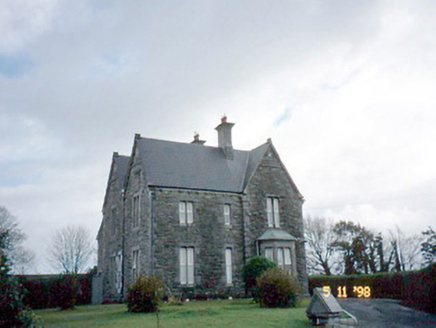 The PresbyteryPresbytery/parochial/curate's house · 1144 yd
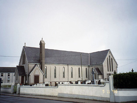 Saint Mary's Catholic ChurchChurch/chapel · 1196 yd
 Glin CastleCastle · 3.5 mi
 Ballymacrinan BayBay · 4.6 mi
 Clonderalaw BayBay · 4.8 mi
 Carrigafoyle CastleCastle · 5.0 mi
 Siege of Carrigafoyle CastleSiege · 5.0 mi
 St Senan's WellSpring · 5.2 mi
 Carrig IslandIsland · 5.2 mi
 Grave YardGraveyard · 5.8 mi
 Scattery Island Visitor CentreVisitor information · 6.9 mi
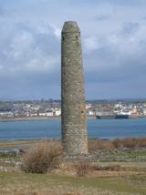 Scattery IslandIsland · 6.9 mi
More archaeology and monuments in County Kerry · All of County Kerry
What do you know about this place?