
What is recorded here
This site consists of a grassed-over, horseshoe-shaped mound which is situated in marshy pastureland. A well once lay NNW of this site but it has since been filled in. This mound, composed of burnt stones and clay which is visible in places, measures 9.7m N-S, 10.2m E-W, and is .7m in height. A slight depression is visible towards the centre of the mound.
The above description is derived from C. Toal, ‘North Kerry Archaeological Survey’. Dingle. Brandon in association with FAS Training and Employment Authority (1995), no. 36. In certain instances the entries have been revised and updated in the light of recent research.
Date of upload: 1 August 2013
The monument record does not grant public access. Check the route and ask the landowner before entering private land.
- What survives
- Recorded monument
Places near here
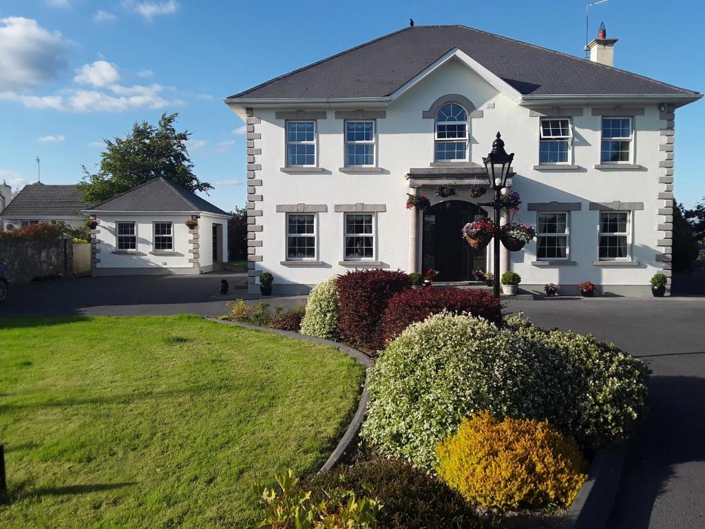 Enclosure in Doonard UpperEnclosure · 1606 yd
 LissymilleenArchaeological place · 1.2 mi
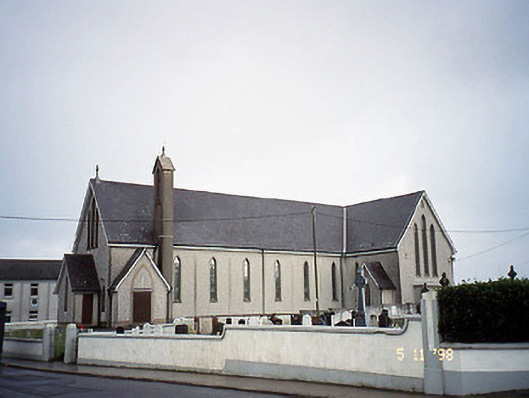 Saint Mary's Catholic Churchchurch/chapel · 1.3 mi
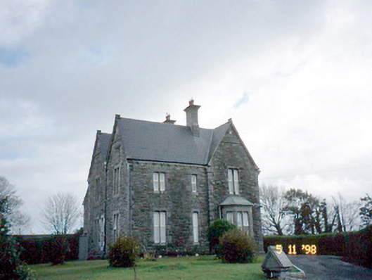 The Presbyterypresbytery/parochial/curate's house · 1.3 mi
 Tarmon Castle (in ruins)Castle, unclassified · 1.6 mi
 Tarbet BayBay · 2.2 mi
 Labasheeda Fort (19th Century)Castle · 3.9 mi
 Siege of Carrigafoyle Castlesiege · 4.2 mi
 Ballymacrinan BayBay · 4.3 mi
 Carrig IslandIsland · 4.4 mi
 St Senan's WellSpring · 5.3 mi
 Scattery Island Visitor CentreVisitor information · 6.3 mi
Other information
Photo: Credit not shown in the picture search · Rights wording not checked; contact us if this picture should be removed