What is recorded here
In pasture, at the E end of an elongated natural rise, bordered to S by an expanse of damp pasture. A slight rise (c. 13m N-S) containing heat-shattered stones and dark soil, merging with and projecting slightly from the natural E-facing slope. A moated site (SL039-006----) lies c. 50m to SW.
The above description is derived from the published 'Archaeological Inventory of County Sligo' compiled by Ursula Egan, Elizabeth Byrne, Mary Sleeman with Sheila Ronan and Connie Murphy (Dublin Stationery Office, 2005).
Date of upload: 18 January 2008
The monument record does not grant public access. Check the route and ask the landowner before entering private land.
- What survives
- Recorded monument
Places near here
 Abbey (in Ruins)Church · 1177 yd
 Enclosure in Cloonameehan NorthEnclosure · 1539 yd
 Fairy fort / stone ringfort in Lissananny MoreFairy fort / stone ringfort · 1.1 mi
 Ballyfahy Castle (in Ruins)Castle, unclassified · 1.4 mi
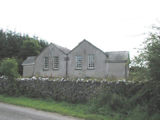 Bunnanaddan National Schoolschool · 1.6 mi
 Tymon's HillMountain / peak · 1.9 mi
 Castle (in Ruins)Castle, tower house · 2.2 mi
 Brother WalfridMemorial · 2.4 mi
 ElderElder · 3.4 mi
 European ashEuropean ash · 4.0 mi
 Caves of KeshCave · 4.6 mi
 Kesh CorannMountain / peak · 5.0 mi