What is recorded here
Roughly rectangular spread of burnt material (11m E-W; 10.5m N-S) now denuded of vegetation. In scrubland at bend in stream. Recently discovered and levelled during land reclamation.
The above description is derived from the published 'Archaeological Inventory of County Cork. Volume 1: West Cork' (Dublin: Stationery Office, 1992). In certain instances the entries have been revised and updated in the light of recent research.
Date of upload/revision: 14 January 2009
The monument record does not grant public access. Check the route and ask the landowner before entering private land.
- What survives
- Recorded monument
Places near here
 Boulder-burial in CoolcoulaghtaBoulder-burial · 521 yd
 LisdromalogheraEnclosure · 687 yd
 KilbreaghMountain / peak · 926 yd
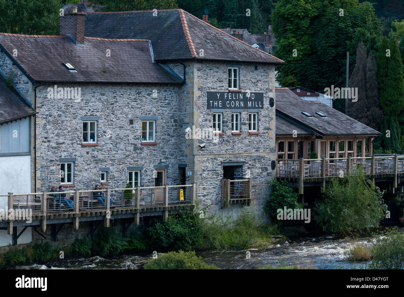 Corn MillMill, corn · 1525 yd
 Durrus Lodgecountry house · 1651 yd
 Mount CorrinMountain / peak · 1.3 mi
 Coolnalong Castle (in Ruins)House, fortified house · 1.8 mi
 Mannion's Island (Small)Islet · 1.8 mi
 Barnageehy Loop WalkWalking route · 1.8 mi
 Rossmore Castle (in Ruins)Castle, tower house · 1.9 mi
 Mannion's Island (Large)Islet · 2.0 mi
 Coomkeen Loop WalkWalking route · 2.4 mi