What is recorded here
In rough pasture with exposed outcropping rock on lower W-facing slope of mountain ridge overlooking Dunmanus Bay. Flat-topped boulder (2.2m x 1.8m; T 1.3m) resting above two support stones. Old field fence abuts monument at N and S.
From the National Monuments Service (Archaeological Survey of Ireland) record CO131-050
The monument record does not grant public access. Check the route and ask the landowner before entering private land.
- What survives
- Recorded monument
Places near here
Photo credits
- National Inventory of Architectural Heritage
- Richard Webb, Geograph · CC BY-SA 2.0
- N Chadwick, Geograph · Creative Commons Attribution-ShareAlike 2.0
- Jonathan Billinger, Geograph · CC BY-SA 2.0
- Gordon Hatton, Geograph · CC BY-SA 2.0
- Dr Brian Lynch, Geograph · CC BY-SA 2.0
- Andreas F. Borchert, Wikimedia Commons · CC BY-SA 4.0
- EecherplazGinkgo06.jpg : Cayambe derivative work: Ginkgotree ( talk ), Wikimedia Commons · CC BY-SA 3.0
- Kenneth Allen, Geograph · CC BY-SA 2.0
 Durrus LodgeCountry house · 1423 yd
 Mount CorrinMountain / peak · 1.1 mi
 Sacred Heart Roman Catholic ChurchChurch/chapel · 1.1 mi
 Rossmore Castle (in Ruins)Castle, tower house · 1.8 mi
 Derrylahard EastMountain / peak · 2.0 mi
 Mount Gabriel View Point toward SouthViewpoint · 3.7 mi
 Ballydehob's 3-Arch Road BridgeVisitor information · 3.9 mi
 Monumental PillarCross · 4.9 mi
 Ginkgo5.0 miGinkgo5.0 mi
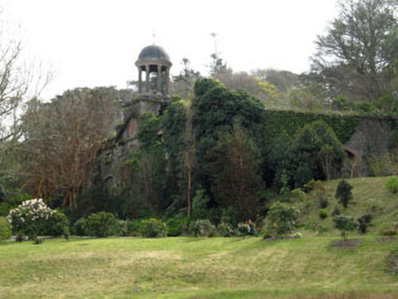 Bantry HouseStables · 5.2 mi
 Bantry HouseStables · 5.3 mi
More archaeology and monuments in County Cork · All of County Cork
What do you know about this place?