What is recorded here
On a slight S-facing slope in a low-lying landscape. A burnt stone spread (dims. 13m N-S; 9m E-W) with an indentation at S was excavated during 2003 prior to development. The circular pit (diam. 2.5m; D 0.4-0.65m) and the mound (max. H 0.4m) produced charcoal but no artefacts. (Morahan 2006a)
Compiled by: Michael Moore
Date of upload: 24 August 2010
The monument record does not grant public access. Check the route and ask the landowner before entering private land.
- What survives
- Recorded monument
Places near here
 IndicatedFairy fort / earthen ringfort · 737 yd
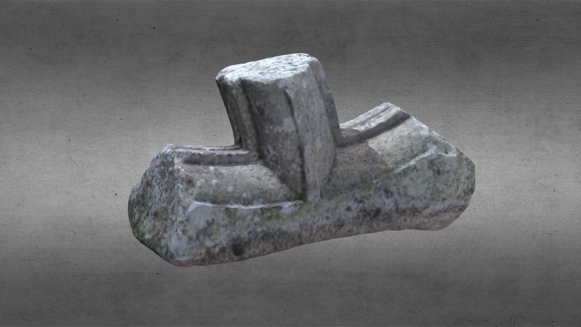 St. Comans VatHoly well · 771 yd
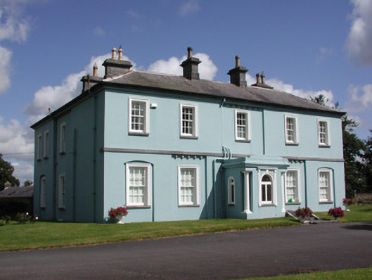 Essex Lawn Househouse · 858 yd
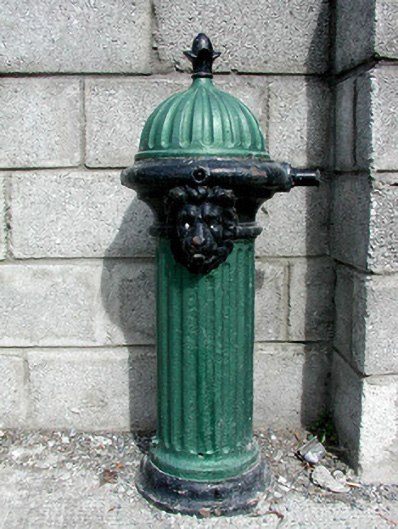 Historic buildingOfficially recorded historic building · 963 yd
 Roscommon CastleCastle · 1226 yd
 Big IslandForest · 1.8 mi
 Little IslandForest · 1.8 mi
 CastleCastle, unclassified · 1.9 mi
 Hangman's HillMountain / peak · 5.2 mi
 Cruit BayBay · 5.8 mi
 Galey CastleCastle, tower house · 6.1 mi
 Galey BayBay · 6.2 mi