
What is recorded here
On a gentle S-facing slope. Oval grass-covered area with some bushes (dims 62.7m E-W; 42.8m N-S) defined by a fosse (Wth of top 4-5.4m; Wth of base 1.5-2.9m; int. D 0.4; ext. D 0.5m) WNW-NE, and by a scarp (H 0.6-1.1m) elsewhere. There is no identifiable original entrance. Archaeological testing (06E1071) immediately to the N but outside a buffer zone (Wth 20m) failed to produce any related material (Sweetman 2009).
Compiled by: Michael Moore
Date of upload: 24 August 2010
The monument record does not grant public access. Check the route and ask the landowner before entering private land.
- What survives
- Recorded monument
Places near here
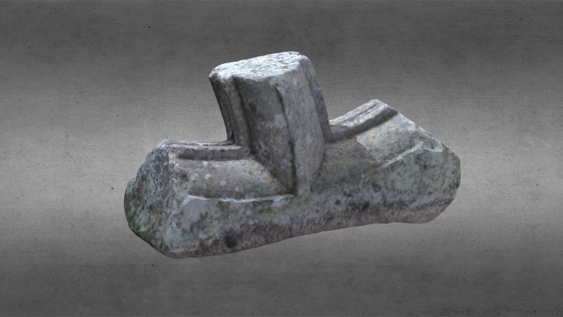 St. Comans VatHoly well · 1475 yd
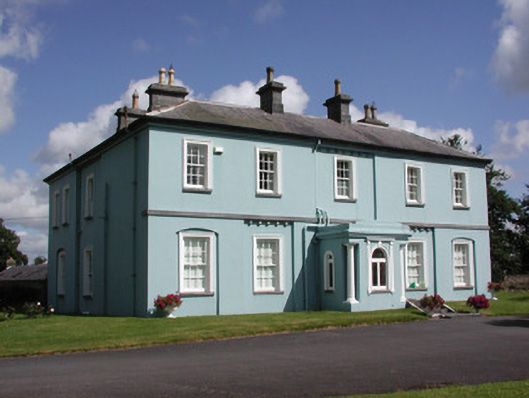 Essex Lawn Househouse · 1514 yd
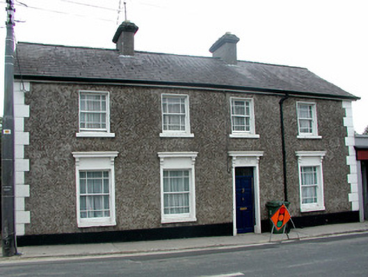 Sunny Side Househouse · 1746 yd
 Roscommon CastleCastle · 1.1 mi
 Gatehouse in Ardnanagh,ballypheasanGatehouse · 1.1 mi
 CastleCastle, unclassified · 1.6 mi
 Big IslandForest · 1.7 mi
 Little IslandForest · 1.8 mi
 Hangman's HillMountain / peak · 5.1 mi
 Cruit BayBay · 5.5 mi
 Galey CastleCastle, tower house · 5.9 mi
 Galey BayBay · 6.0 mi
Other information
Photo: Credit not shown in the picture search · Rights wording not checked; contact us if this picture should be removed