
What is recorded here
Roscommon town (RO039-043----) appears to have been defended, but no walls survive and their course is unknown, but a gate at the S end of Main St. survived as late as the early 19th century and appears on maps by Francis Plunkett (1736) (Bradley and Dunne 1988a, 91) and D. A. Beaufort (1808) (Siggins 1998b). Archaeological monitoring (19E0428) by P. Walsh of the trench for a water-pipe on Main St at the junction with Church St and Goff St identified on the E side of the trench what is probably a medieval wall just 0.2m below the road surface. Its width could not be gauged but the wall face extended along the trench (L 5.5m) and beyond its depth (D 0.96m). The earlier water-pipe took advantage of the passage of the town gate at this point. (Walsh 2012, 13)
Compiled by: Michael Moore
Date of upload: 24 August 2010
Amended: 3 August 2021
The monument record does not grant public access. Check the route and ask the landowner before entering private land.
- What survives
- Recorded monument
Places near here
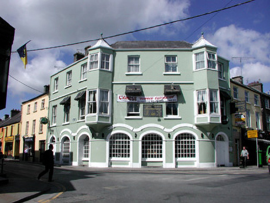 hotelhotel · 17 yd
 KilnKiln, lime · 39 yd
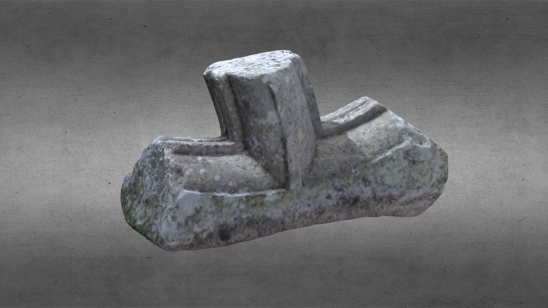 St. Comans VatHoly well · 496 yd
 Roscommon CastleCastle · 740 yd
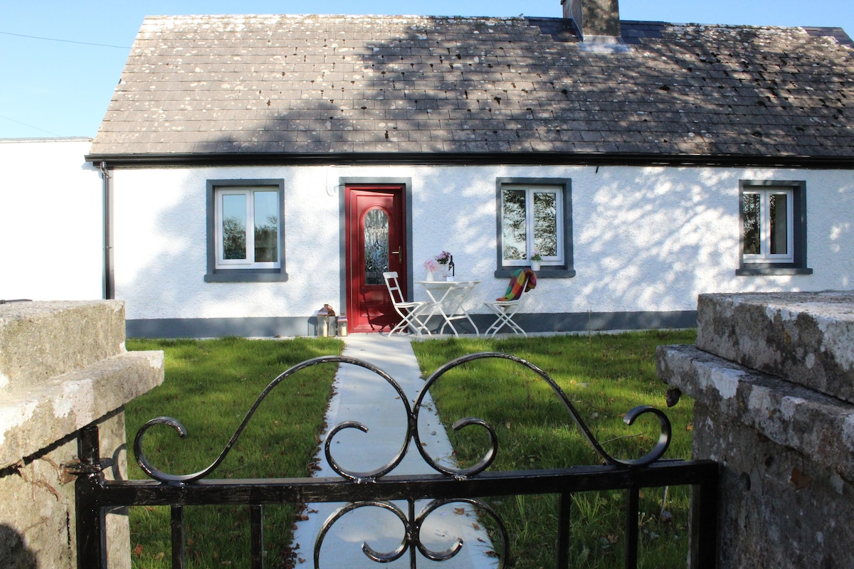 IndicatedHouse, fortified house · 759 yd
 Lord's WellArchaeological place · 1085 yd
 Little IslandForest · 1.7 mi
 Big IslandForest · 1.7 mi
 CastleCastle, unclassified · 4.7 mi
 Hangman's HillMountain / peak · 5.2 mi
 Sally IslandIslet · 6.9 mi
 Priest's IslandIslet · 8.3 mi
Other information
Photo: Credit not shown in the picture search · Rights wording not checked; contact us if this picture should be removed