What is recorded here
Excavated (E3468) during 2005 by E. Devine as a part of Site 3 at Clogh, which was one of the excavations undertaken in advance of the construction of the N11 Arklow-Gorey link-road. Situated in a low-lying landscape W of a small N-S stream, but the original stream may have meandered E-W across the site. A spread of burnt mound material (dims. 13m x 5m; T 0.1m) was distubed by drain-digging but overlay a subrectangular trough (dims. 2.2m x 1.8m; D 0.1m) that may have had a plank lining. Fulacht fia (WX011-053----) is 17m to the NW, but separate sites might not have been involved. (Devine 2008)
Compiled by: Michael Moore
Date of upload: 12 April, 2012
The monument record does not grant public access. Check the route and ask the landowner before entering private land.
- What survives
- Recorded monument
Places near here
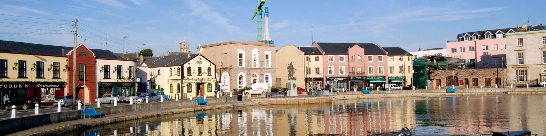 Fulacht fia in CloghFulacht fia · 22 yd
 Ritual siteRitual site, holy/saint's stone · 677 yd
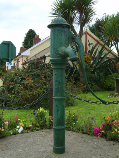 water pumpwater pump · 682 yd
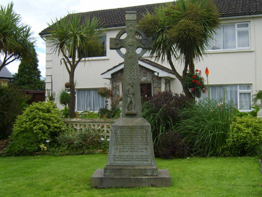 monumentmonument · 688 yd
 Barnadown WoodWood · 1.4 mi
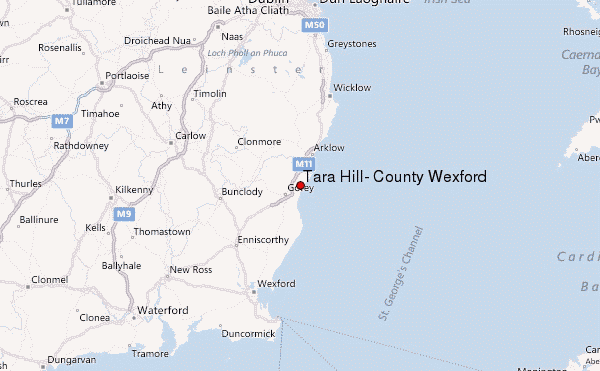 Ballyminaun HillMountain / peak · 1.8 mi
 Carriganeagh RockMountain / peak · 2.5 mi
 1798 MonumentMemorial · 3.1 mi
 Market HouseHeritage attraction · 3.5 mi
 Giants BedNamed rock · 4.2 mi
 Camolin WoodForest · 4.2 mi
 Saint Brigid's WellSpring · 5.4 mi