What is recorded here
In tillage on a gentle S-facing slope, c. 70m to the N of a stream. Described by the landowner as a patch of dark soil within which some blackened stones were evident. On inspection due to ploughing and the planting of barley, no visible surface traces were evident.
Compiled by: Galway Archaeological Survey, UCG
Date of upload: 18 November 2019
The monument record does not grant public access. Check the route and ask the landowner before entering private land.
- What survives
- Recorded monument
Places near here
 CankillyHouse, 20th century · 466 yd
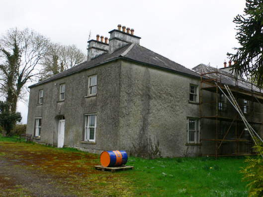 Cloonkeahouse · 1218 yd
 ToberdonghaunHoly well · 1432 yd
 Killeen FortFairy fort / earthen ringfort · 1.1 mi
 Esker IslandIsland · 1.5 mi
 Lismore CastleCastle, tower house · 1.8 mi
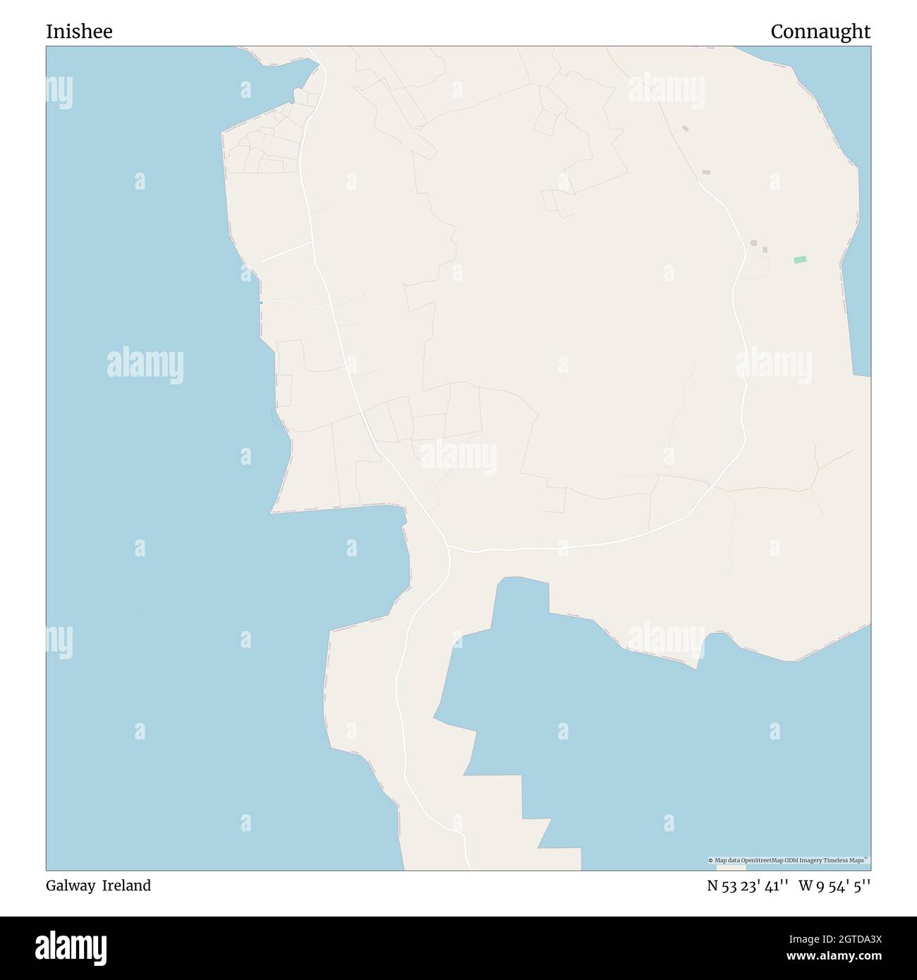 InisheeIsland · 1.8 mi
 Horse-chestnutHorse-chestnut · 1.8 mi
 Clonfert CathedralHeritage attraction · 1.9 mi
 European YewEuropean Yew · 1.9 mi
 MeelickVisitor information · 2.6 mi
 CastleCastle, unclassified · 2.8 mi