What is recorded here
In pasture, beside well. According to local information, spread of burnt material visible when field is ploughed. No visible surface trace.
The above description is derived from the published 'Archaeological Inventory of County Cork. Volume 2: East and South Cork' (Dublin: Stationery Office, 1994). In certain instances the entries have been revised and updated in the light of recent research.
Date of upload/revision: 14 January 2009
The monument record does not grant public access. Check the route and ask the landowner before entering private land.
- What survives
- Recorded monument
Places near here
 Enclosure in Bishop's Island (barrymore By., Ardnageehy Par.)Enclosure · 301 yd
 Cremated remains in MitchellsfortCremated remains · 504 yd
 Watergrasshill Church of Ireland Churchchurch/chapel · 1000 yd
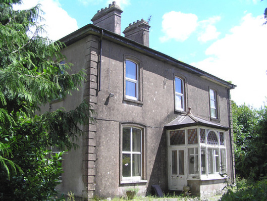 presbytery/parochial/curate's housepresbytery/parochial/curate's house · 1363 yd
 Castle (Site of)Castle, unclassified · 1.3 mi
 Moanbaun ForestForest · 2.6 mi
 Gleeson MemorialMemorial · 3.0 mi
 Devonshire's HillMountain / peak · 3.4 mi
 Graveyard in Killuntin NorthGraveyard · 3.4 mi
 Monananig WoodsWood · 3.5 mi
 Sarsfields Court (in Ruins)Castle, unclassified · 3.8 mi
 Rathcormac massacremassacre · 5.2 mi