What is recorded here
Located on a slight N-facing slope. Centre-line testing (E4067) in advance of the N25 New Ross by-pass identified a spread of broken and burnt stone that was set aside for resolution as Berkeley 1 (Doyle et al 2010, 43-4). When it was fully excavated (E4120) the burnt stone layer (dims 7.4m x 6.6m; T 0.12m) was overlying a second burnt stone layer (dims 3.65m NW-SE; 2.2.1m NE-SW; max. T 8cm) that was W of a rectangular trough (dims 2.67m WNW-ESE; 1.73m NNE-SSW; D 0.28m) which had a flat base and three post-holes on the N side. A NE-SW linear cut (Wth c. 3m) is NW of the trough and appears to lie under the burnt mound material (Clark and Hackett 2010f, 8-9; Hackett 2013).
Compiled by: Michael Moore
Date of upload: 24 September, 2013
The monument record does not grant public access. Check the route and ask the landowner before entering private land.
- What survives
- Recorded monument
Places near here
 Site of R. C. ChapelChurch · 468 yd
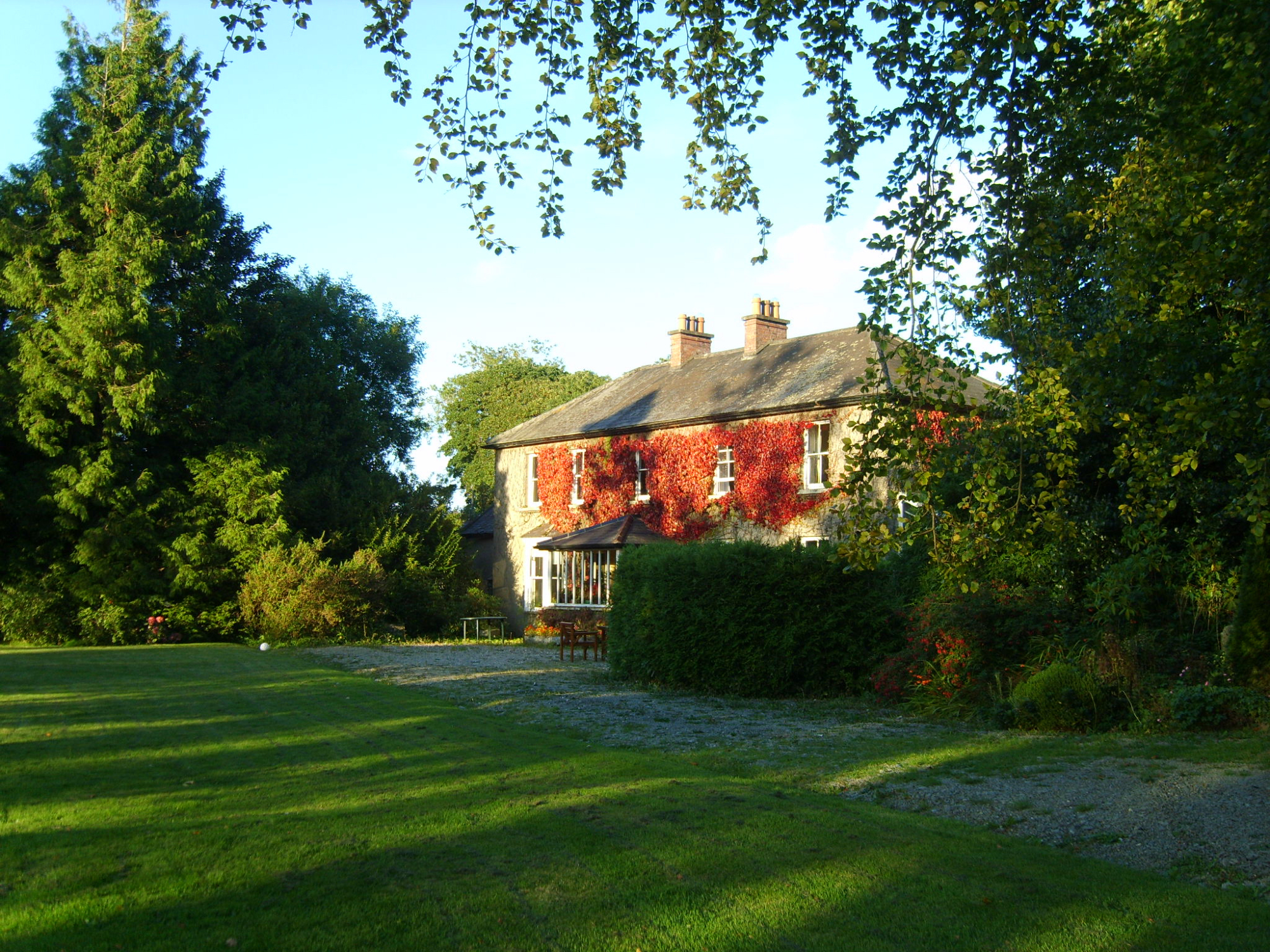 Knockroe Housefarm house · 480 yd
 Site of CastleCastle, unclassified · 1107 yd
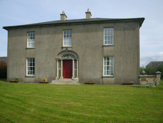 Sweetmount Housefarm house · 1200 yd
 Castle (in ruins)Castle, unclassified · 1742 yd
 Embanked enlcosureFairy fort / earthen ringfort · 1.1 mi
 Forest Of The DunbrodyForest · 1.3 mi
 Lacken HillMountain / peak · 1.5 mi
 Silver WattleSilver Wattle · 3.8 mi
 Crutched FriarsMemorial · 3.9 mi
 Carrickbyrne HillMountain / peak · 4.7 mi
 Graveyard in St. Mullin'sGraveyard · 5.7 mi