What is recorded here
Hot water raged in that hidden Ballyvollane basin long before roads or pipes crossed the floodplain. People likely gathered there to boil food, clean gear or share warmth beside the stream, then departed without marking the earth for later maps. The burnt stones and charcoal still hold the shape of that forgotten activity, waiting beneath ordinary grass for someone curious enough to listen.
In lowlying grassland, on the floodplains of the River Shannon located 630m to the W with a stream 35m to S. Not depicted on any OS map. Initially identified during archaeological monitoring by Avril Hayes (Licence 01E0169) associated with the laying of the Clareville to Newcastle pipeline (Hayes 2001). Excavated by Avril Hayes under licence no. 02E1348, the results were summarised as ‘a low mound of burnt stone in a charcoal-rich soil matrix. It lay in a low-lying marshy area close to a stream. The deposit was roughly circular, 10m in diameter, and 0.5m at its deepest. There was no obvious trough under the deposit, but a roughly circular cut lay under the south-west quadrant of the fulacht material. It was filled with burnt material. The burnt material overlay an undulating, grey, clay subsoil. No finds were recovered (www.excavations.ie 2001; 1146, Hayes 2004, 308).
Compiled by: Martin Fitzpatrick
Date upload: 16 June 2020
The monument record does not grant public access. Check the route and ask the landowner before entering private land.
- What survives
- Recorded monument
Places near here
 BarrowBarrow, unclassified · 780 yd
 Enclosure in SrawickeenEnclosure · 1131 yd
 Castle Troy (in ruins)Castle, tower house · 1178 yd
 Mountshannon HouseRuins · 1318 yd
 Country house in MountshannonCountry house · 1320 yd
 Jackie PowerMemorial · 1573 yd
 Campus MapVisitor information · 1.5 mi
 Visitor CentreVisitor information · 1.6 mi
 Fountain SculptureHeritage attraction · 1.6 mi
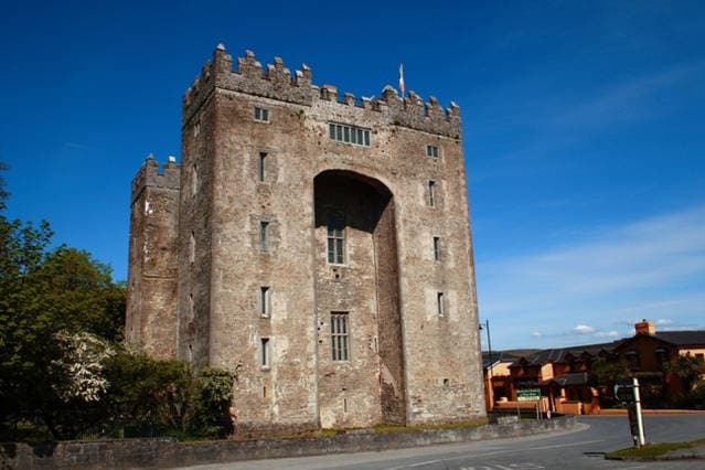 The Turret (in Ruins)Castle, unclassified · 1.7 mi
 University of Limerick FlagpostsHeritage attraction · 1.8 mi
 Graveyard in AbingtonGraveyard · 5.8 mi