What is recorded here
Fire cracked the stones until they rained like black chips across the grass. A wooden scoop broke during the work and lay forgotten beside the pits, its grain still dark with soot. The Shannon floods have since smoothed the edge of the place, keeping only the warmth and the shape of hands in memory.
In lowlying grassland, on the floodplains of the River Shannon located 700m to the W. Not depicted on any OS map. Initially identified during archaeological monitoring by Avril Hayes (Licence 01E0169) of a 5km way-leave associated with the laying of the Clareville to Newcastle pipeline (Hayes 2001). This revealed a spread of burnt and fire-cracked stones covering an area measuring 12m north–south by 4m. Excavated under licence no. 02E1403 by Frank Coyne, the results were summarised as following; ‘Excavation of this material revealed a series of pits and natural hollows, all filled with similar fire-shattered stone and charcoal. One of these pits produced a sherd of Beaker pottery and a piece of worked timber, tentatively interpreted as a wooden scoop or shovel. This may have been used to move the burnt stones and appeared to have been broken and abandoned in antiquity. A shallow rectangular pit was also identified, c. 10m to the east of the burnt spread. It measured 1.4m east–west by 0.9m and was cut into sand to a depth of 0.1m. It was also filled with burnt stone and occasional charcoal flecks. Part of an animal tooth was recovered from the fill of the pit. Its association with the main spread of burnt stone is unclear.’ (www.excavations.ie 2001; 1146, Hayes 2001, 2002; 1125 Coyne, 2002).
Compiled by Martin Fitzpatrick
Date upload 15 June 2020
The monument record does not grant public access. Check the route and ask the landowner before entering private land.
- What survives
- Recorded monument
Places near here
 Burial in Prospect (clanwilliam By.)Burial · 542 yd
 Fulacht fia in Prospect (clanwilliam By.)Fulacht fia · 602 yd
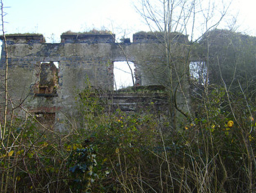 Prospect Househouse · 1087 yd
 Mountshannon HouseRuins · 1374 yd
 Castle Troy (in ruins)Castle, tower house · 1.1 mi
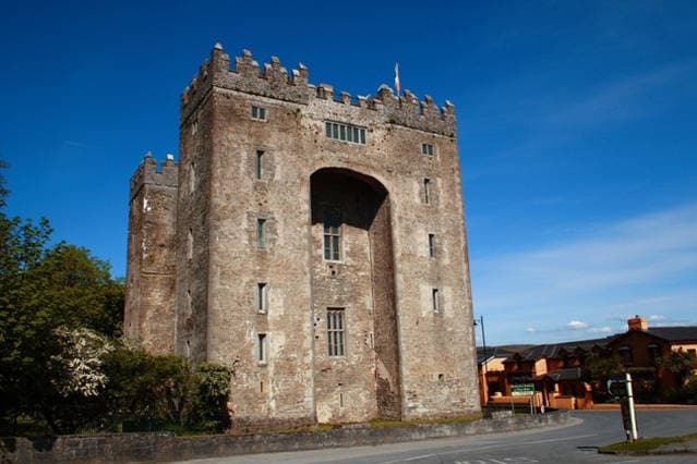 The Turret (in Ruins)Castle, unclassified · 1.1 mi
 Jackie PowerMemorial · 1.5 mi
 Campus MapVisitor information · 1.9 mi
 Visitor CentreVisitor information · 2.0 mi
 Fountain SculptureHeritage attraction · 2.0 mi
 University of Limerick FlagpostsHeritage attraction · 2.3 mi
 Graveyard in AbingtonGraveyard · 6.1 mi