What is recorded here
Situated on the edge of a swampy hollow in wet ground 120m NE of fulacht fiadh (WM011-111---) and 36m NNE of fulacht fiadh (WM011-111001-). One of a group of six fulacht fia, three in Ballysallagh (Tuite) townland (WM011-111----/001-) and three in Balroe (WM011-012----/001-/002-). A low oval-shaped earth and stone mound (8.7m ESE-WNW; 7.5m NNE-SSW; H 0.6m). A field fence intersects the perimeter of the mound at NNW. Now located in modern coniferous plantation visible on Digital Globe aerial photograph taken November 2011.
See attached plan of monument surveyed and drawn by the ASI.
Compiled by: Frank Coyne and Caimin O'Brien
Date of upload: 28 August 2017
The monument record does not grant public access. Check the route and ask the landowner before entering private land.
- What survives
- Recorded monument
Places near here
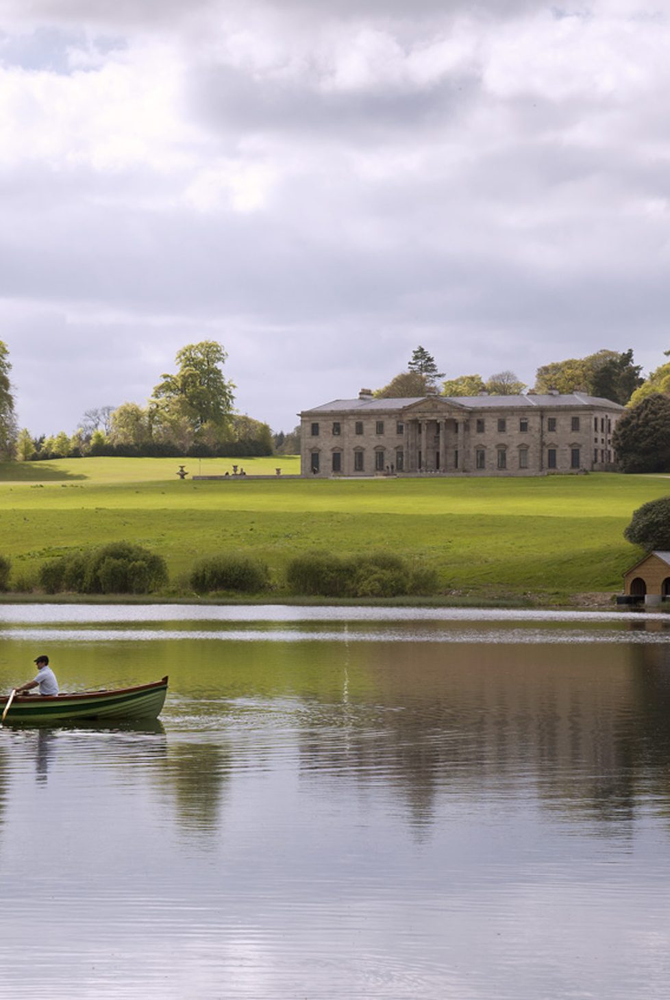 Fulacht fia in BalroeFulacht fia · 128 yd
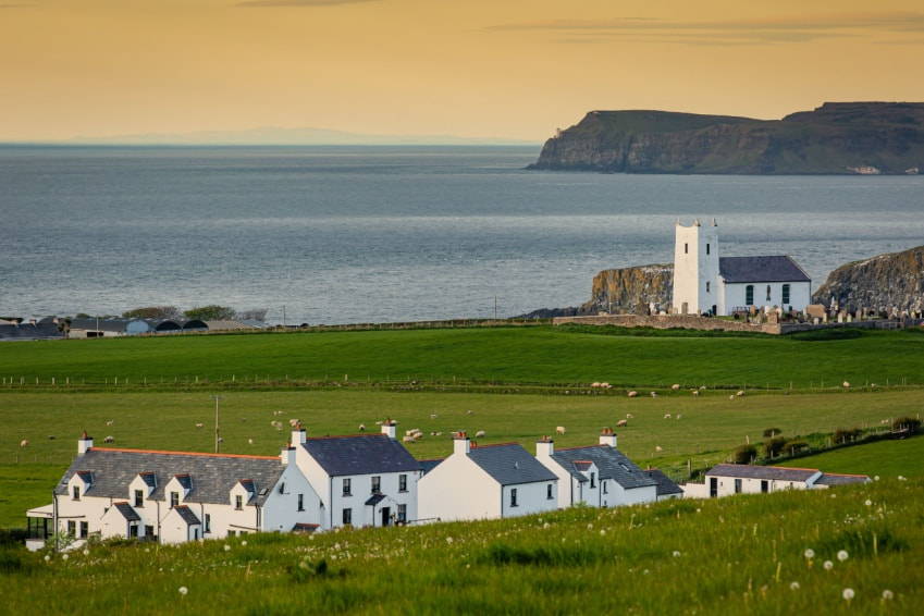 Fulacht fia in Ballysallagh (tuite)Fulacht fia · 149 yd
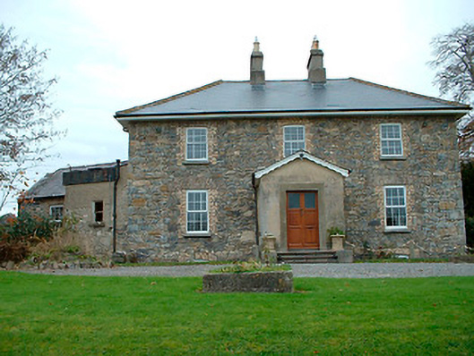 Grange Hallhouse · 1101 yd
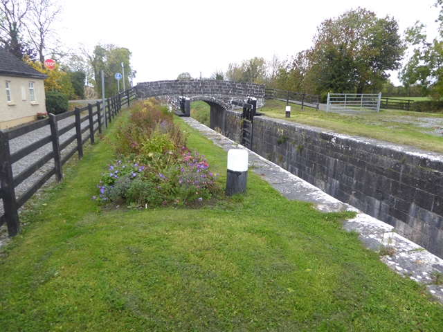 Balroe Bridgebridge · 1349 yd
 CastleCastle, tower house · 1617 yd
 Site of Castle, Castle FieldCastle, unclassified · 1.5 mi
 Baronstown ForestWood · 1.6 mi
 Horse-chestnutHorse-chestnut · 1.7 mi
 Craft WorkshopHeritage attraction · 8.3 mi
 Guest ServicesVisitor information · 8.3 mi
 Newcastle WoodsForest · 9.0 mi
 Partially hachuredFairy fort / earthen ringfort · 582 yd