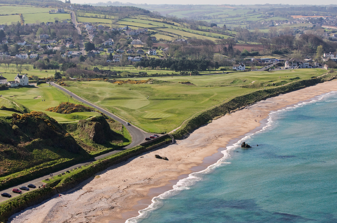
What is recorded here
Situated on the edge of a swampy hollow in wet ground 85m NE of fulacht fiadh (WM011-111---) and 36m to SSW of fulacht fiadh (WM011-111002-). One of a group of six fulacht fia, three in Ballysallagh (Tuite) townland (WM011-111----/002-) and three in Balroe (WM011-012----/001-/002-). A low irregular-shaped earth and stone mound (10.2m NW-SE; 8.5m; H 0.4m). Now located in modern coniferous plantation visible on Digital Globe aerial photograph taken November 2011.
See attached plan of monument surveyed and drawn by the ASI.
Compiled by: Frank Coyne and Caimin O'Brien
Date of upload: 28 August 2017
The monument record does not grant public access. Check the route and ask the landowner before entering private land.
- What survives
- Recorded monument
Places near here
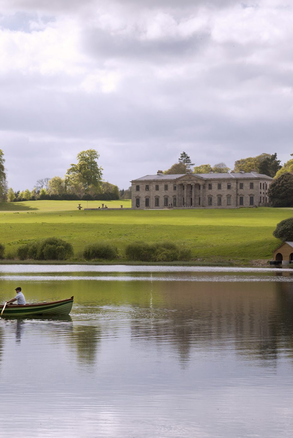 Fulacht fia in BalroeFulacht fia · 94 yd
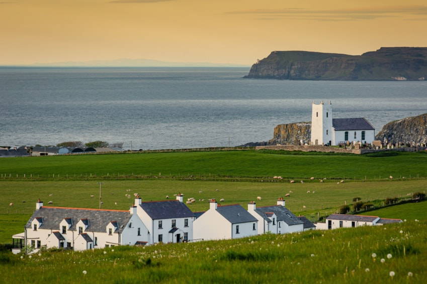 Fulacht fia in Ballysallagh (tuite)Fulacht fia · 123 yd
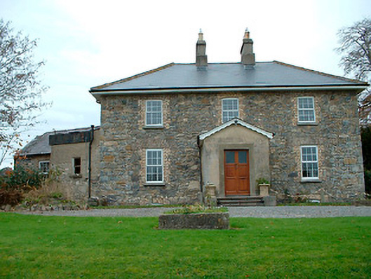 Grange Hallhouse · 1126 yd
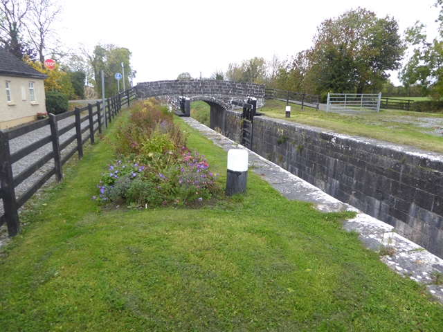 Balroe Bridgebridge · 1321 yd
 CastleCastle, tower house · 1588 yd
 Site of Castle, Castle FieldCastle, unclassified · 1.5 mi
 Baronstown ForestWood · 1.6 mi
 Horse-chestnutHorse-chestnut · 1.7 mi
 Craft WorkshopHeritage attraction · 8.3 mi
 Guest ServicesVisitor information · 8.3 mi
 Newcastle WoodsForest · 9.0 mi
 Partially hachuredFairy fort / earthen ringfort · 565 yd
Other information
Photo: Credit not shown in the picture search · Rights wording not checked; contact us if this picture should be removed