What is recorded here
No visible fulacht fia exists at Ballylin today. What is known is a lost or buried site near Ballylin Hillfort, remembered through local identification and a related Bronze Age find nearby. Any vivid picture of steam, stones or people must remain imagination, not fact.
In rough pasture on the E slope of Ballylin Hill. The external rampart of the hillfort (LI028-085----) is 330m to NW. A fulacht fia (LI028-087----) is located in dense woodland c. 60m to ESE. The site is not depicted on the 1840 ed. OSi 6-inch map and is not depicted on the 1897 ed. OSi 25-inch map. The site is not visible on the OSi orthoimage taken 2005-12 or on the Digital Globe orthoimages taken 2011-2013. Identified by Jerry McMahon of Ardagh (member of the Newcastle Historical Society) in 1986 when the site was described as being found during a Field Trip to Ballylin Hillfort (SMR File). The general location of the site is visible on Google Earth orthoimage taken 08/04/2015. The precise location of the monument is based on local information. The correspondence with Jerry Murphy makes reference to the archaeological excavation of another fulacht fia in the townland. This is assumed to be the site (LI028-085----) located 60m to ESE, which yielded a Middle Bronze Age date (Ref: GrN- 13153 3400BP+60 BP) (Brindley et al. 1989-90, 27).
See attached location map prepared by Jerry McMahon and Google Earth orthoimage
Compiled by: Edmond O’Donovan
Date of upload: 24 September 2020
The monument record does not grant public access. Check the route and ask the landowner before entering private land.
- What survives
- Recorded monument
Places near here
 Burial mound in Ballylin (shanid By., Ardagh Ed)Burial mound · 398 yd
 Enclosure in Ballylin (shanid By., Ardagh Ed)Enclosure · 496 yd
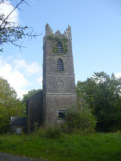 Rathronan Churchchurch/chapel · 1431 yd
 Dunganville Bridgebridge · 1624 yd
 CahermoyleCastle, unclassified · 1.6 mi
 St. Luke's WellSpring · 1.9 mi
 Castle (in ruins)Castle, tower house · 2.2 mi
 St. Kieran's WellSpring · 3.6 mi
 Limerick GreenwayWalking route · 3.8 mi
 Sugar HillMountain / peak · 5.5 mi
 Monterey CypressMonterey Cypress · 7.8 mi
 Prospect HillMountain / peak · 7.8 mi