What is recorded here
In low-lying level pasture with moderate views in all directions. Identified by Claire Walsh in 1986 as Site 2/37/1TR during archaeological monitoring of topsoil stripping associated with the Irish Gas pipeline (Gowen 1988, 132-3). The results of her monitoring were summarised as follows; ‘This site was first recognised as a flattened fulacht fiadh mound during removal of topsoil. A slight mound outside the gas pipeline corridor led to the belief that the trough site might lie outside it. However, during trenching the site of a trough was revealed in section. It measured 1.80m in length and was 60cm deep. No timber survived in situ. The fill consisted largely of mound material but a layer of silt at the base contained abundant charcoal and fragments of wood. There were no finds’ (www.excavations.ie 1986, Site No. 38). No surface remains visible when visited by the ASI in 2000.
See attached Google earth orthoimage 28/06/2018
Compiled by: Martin Fitzpatrick
Date of upload: 29 July 2020
The monument record does not grant public access. Check the route and ask the landowner before entering private land.
- What survives
- Recorded monument
Places near here
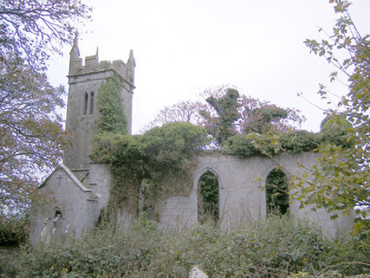 Ballycahane Churchchurch/chapel · 251 yd
 Grave YardGraveyard · 252 yd
 Castle (in ruins)Castle, hall-house · 471 yd
 Maryville Housecountry house · 682 yd
 Mound in Ballyregan (pubblebrien By.)Mound · 960 yd
 European ashEuropean ash · 1.1 mi
 Ballinveala Castle (in ruins)Castle, tower house · 1.5 mi
 Villiers WellSpring · 1.6 mi
 Monasteranenagh AbbeyHeritage attraction · 2.5 mi
 Biodiversity in the Maigue CatchmentVisitor information · 3.3 mi
 Dysert AenghusaHeritage attraction · 4.1 mi
 Lebanon CedarLebanon Cedar · 4.9 mi