What is recorded here
Hot stones, boiling water, and the smell of pork filling the damp air. That is what a fulacht fia was before it became a flattened scar in the pasture. Claire Walsh uncovered the buried truth in 1986 when pipeline work cut through the grass, exposing wild boar bones trapped in dark peat beside the stone mound. The kitchen vanished again under soil and forgetting, but the hunger and heat that made it still belong to the land.
In low-lying undulating pasture with moderate views in all directions. Identified by Claire Walsh in 1986 as Site 2/38/4 during archaeological monitoring of topsoil stripping associated with the Irish Gas pipeline (Gowen 1988, 134-5). The results of her monitoring were summarised as follows; ‘After removal of topsoil a small spread of fulacht fiadh mound material was revealed close to a stream forming a field ditch. The site was partially investigated at this stage revealing that the mound material (of which there were no surface indications) lay on and in a deposit of peat, up to 30cm thick. Excavation of two small cuttings through the peat did not yield any evidence for the presence of a trough in the exposed part of the site. However, during this work a number of butchered bones were recovered from the peat which were identified as those of wild boar. The site was returned to later in order to ascertain the stratigraphical relationship between the peat and the mound material as a find of this sort on a fulacht fiadh site is clearly of some importance. A cutting from the fence line, through the mound material and peat, showed that the mound material lay in an upper layer of peat only. No mound material was located in the basal layer of peat from which the bones were recovered. The subsoil was a silty marl with many water-weathered stones of limestone, up to 15-20cm in size. While no stratigraphical link was apparent between the now flattened mound and the bones, there is still a possibility that the two may be broadly contemporary. If the mound was flattened in recent years, the material could have been spread over peat which may have formed since the fulacht fiadh went out of use. Samples from a peat core and fragments of disturbed timber found on the site have been submitted for radiocarbon dating’ (www.excavations.ie 1986, Site No. 37; Walsh 1987, 23). No surface remains visible when visited by the ASI in 2000.
See attached Google earth orthoimage 28/06/2018 and location map taken from Gowen 1988
Compiled by: Martin Fitzpatrick
Date of upload: 4 August 2020
The monument record does not grant public access. Check the route and ask the landowner before entering private land.
- What survives
- Recorded monument
Places near here
 Partially indicatedFairy fort / earthen ringfort · 122 yd
 Hearth in Ballycahane LowerHearth · 150 yd
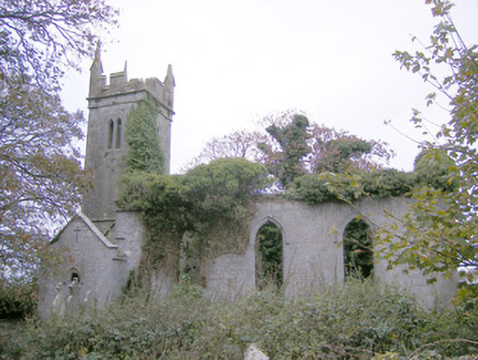 Ballycahane Churchchurch/chapel · 1635 yd
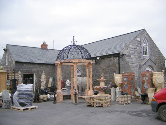 Old School Housechurch/chapel · 1695 yd
 Castle (in ruins)Castle, hall-house · 1710 yd
 Ballinveala Castle (in ruins)Castle, tower house · 1718 yd
 Villiers WellSpring · 1.5 mi
 European ashEuropean ash · 1.9 mi
 Monasteranenagh AbbeyHeritage attraction · 3.3 mi
 Biodiversity in the Maigue CatchmentVisitor information · 3.7 mi
 Dysert AenghusaHeritage attraction · 4.3 mi
 European YewEuropean Yew · 4.6 mi