What is recorded here
Identified by Claire Walsh in 1986 as Site 2/38/2 during archaeological monitoring of topsoil stripping associated with the Irish Gas pipeline (Gowen 1988, 180). The results of her monitoring were summarised as follows; ‘This site was first recognised as a flattened fulacht fiadh mound during removal of topsoil. A slight mound outside the gas pipeline corridor led to the belief that the trough site might lie outside it. However, during trenching the site of a trough was revealed in section. It measured 1.80m in length and was 60cm deep. No timber survived in situ. The fill consisted largely of mound material but a layer of silt at the base contained abundant charcoal and fragments of wood. There were no finds’ (www.excavations.ie 1986, Site No. 38; Walsh 1987, 23). No surface remains visible when visited by the ASI in 2000.
See attached Google Earth orthoimage 28/06/2018
Compiled by: Martin Fitzpatrick
Date of upload: 29 July 2020
The monument record does not grant public access. Check the route and ask the landowner before entering private land.
- What survives
- Recorded monument
Places near here
 Enclosure in Ballycahane LowerEnclosure · 209 yd
 Hearth in Ballycahane LowerHearth · 223 yd
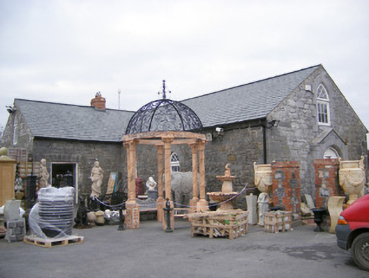 Old School Housechurch/chapel · 1552 yd
 The Cottagehouse · 1614 yd
 Ballinveala Castle (in ruins)Castle, tower house · 1715 yd
 Castle (in ruins)Castle, hall-house · 1.1 mi
 Villiers WellSpring · 1.5 mi
 European ashEuropean ash · 2.0 mi
 Monasteranenagh AbbeyHeritage attraction · 3.4 mi
 Biodiversity in the Maigue CatchmentVisitor information · 3.7 mi
 Dysert AenghusaHeritage attraction · 4.4 mi
 European YewEuropean Yew · 4.5 mi