What is recorded here
Fulacht fia described by Cuppage (1986, 24, no. 25 (i)) as; 'Located on the E bank of the river, this horseshoe-shaped mound has been cut away along its WNW side by the river and there is a drop here of c. 2m to the level of the water. A holly tree has also caused some disturbance at the W end of the mound which measures 11m NE-SW x c. 7.3m NW-SE x 1.25m in maximum height. It is composed of a combination of black soil and fragments of burnt stone. The depression at the NE side measures 2.4m x 2.4m, and a large flag partly exposed at its E side may have formed part of a revetment, as may the earthfast boulders a short distance to NE. The wall running N from the mound marks the boundary between the townlands of Ballyhoneen and Kilmore; elsewhere this boundary follows the centre of the river'.
The monument record does not grant public access. Check the route and ask the landowner before entering private land.
- What survives
- Recorded monument
Places near here
 Field system in An Choill Mhór (bar. Corca Dhuibhne),baile Uí UaithnínField system · 306 yd
 Enclosure in An Choill Mhór (bar. Corca Dhuibhne)Enclosure · 355 yd
 Church in Cill An UrdráinChurch · 1450 yd
 Sliabh na nGabharMountain / peak · 1.1 mi
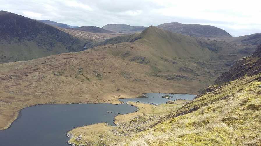 An StarraicínMountain / peak · 1.2 mi
 Séipéal Bhréanainn [Saint Brendan's Catholic Church]church/chapel · 2.1 mi
 Drom BeachBeach / strand · 2.1 mi
 Maughanablagher CliffsCliff · 2.4 mi
 Site of CastleCastle, unclassified · 2.5 mi
 Hillville WoodWood · 2.5 mi
 An t'Oileán DubhIslet · 2.7 mi
 An ChonairViewpoint · 2.9 mi