What is recorded here
Located in deciduous woodland on the N side of Inishkeen Island (max. dims c. 800m WNW-ESE; c. 200m NNE-SSW), close to the N shore of Lough Melvin. An enclosure (dims c. 240m WNW-ESE; c. 50-60m NNE-SSW) is described in italic lettering on the 1909 ed. of the OS 6-inch map as the ‘Friars Garden’. This is defined by a collapsed rubble bank, best preserved at the E end (Wth 3m; H 0.5-1m), and slag was found on the shore at N in the 1940s (SMR file). Moore (Dublin: Stationery Office, 2003).
Located in deciduous woodland on the N side of Inishkeen Island (max. dims c. 800m WNW-ESE; c. 200m NNE-SSW), close to the N shore of Lough Melvin. An enclosure (dims c. 240m WNW-ESE; c. 50-60m NNE-SSW) is described in italic lettering on the 1909 ed. of the OS 6-inch map as the ‘Friars Garden’. This is defined by a collapsed rubble bank, best preserved at the E end (Wth 3m; H 0.5-1m), and slag was found on the…
From the National Monuments Service (Archaeological Survey of Ireland) record LE002-023003
The monument record does not grant public access. Check the route and ask the landowner before entering private land.
- What survives
- Recorded monument
Places near here
 InishkeenIslet · 128 yd
 InishtempleIslet · 1.1 mi
 Bradoge BridgeBridge · 1.9 mi
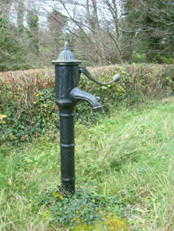 water pump2.9 mi
 Ross PointHeadland · 3.2 mi
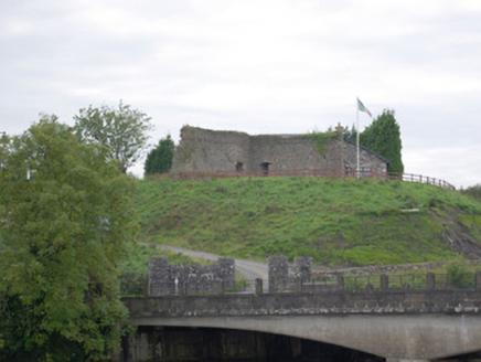 Belleek Battery / FortBattery and garrison fort · 3.8 mi
 Belleek Pottery MuseumMuseum · 3.9 mi
 Belleek PotteryHeritage attraction · 3.9 mi
 Arroo MountainMountain / peak · 4.1 mi
 Rory GallagherMemorial · 4.5 mi
 Standing stone in Townparks (ballyshannon Ed)Standing stone · 4.5 mi
 St Anne's Church GraveyardGraveyard · 4.6 mi
Pictures: Kenneth Allen, Geograph · CC BY-SA 2.0; National Inventory of Architectural Heritage; Oliver Dixon, Geograph · CC BY-SA 2.0; Eric Jones, Geograph · CC BY-SA 2.0; Kenneth Allen, Wikimedia Commons · CC BY-SA 2.0; Michael Murtagh, Geograph · CC BY-SA 2.0
More archaeology and monuments in County Leitrim · All of County Leitrim
What do you know about this place?