What is recorded here
Fort S is a ruined ringfort on a gentle south-facing slope in County Longford. Its twenty-six-metre circular bank still rises above the pasture, although the outer ditch has vanished and the entrance has become impossible to identify. A disused laneway bends around one side like a forgotten shadow of the fort itself. The place keeps its shape even when human memory stops noticing it.
On a very gentle S-facing slope in pasture. A raised circular area (diam. c. 26m) enclosed by a partially denuded low bank of earth and stone. A report in 1976 (SMR file) recorded an external fosse, which has since been infilled. A disused laneway from SW-WSW-W may mirror its outline. The original entrance is not recognisable.
Compiled by: Patrick F. O'Donovan
Date of upload: 12 January 2012
The monument record does not grant public access. Check the route and ask the landowner before entering private land.
- What survives
- Recorded monument
Places near here
 FortsFairy fort / earthen ringfort · 87 yd
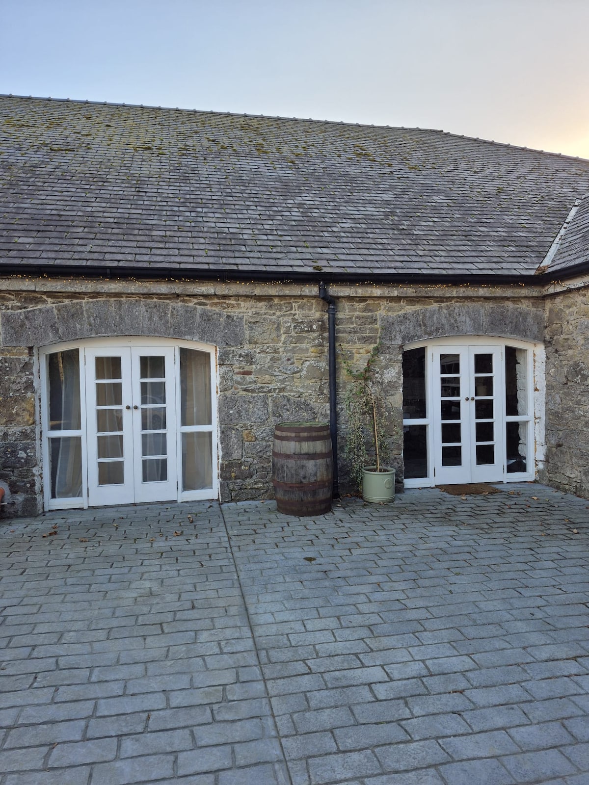 Enclosure in Bawn (moydow By.)Enclosure · 1104 yd
 Bawn Castle & NunneryHouse, fortified house · 1156 yd
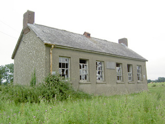 Saint Brigid's National Schoolschool · 1162 yd
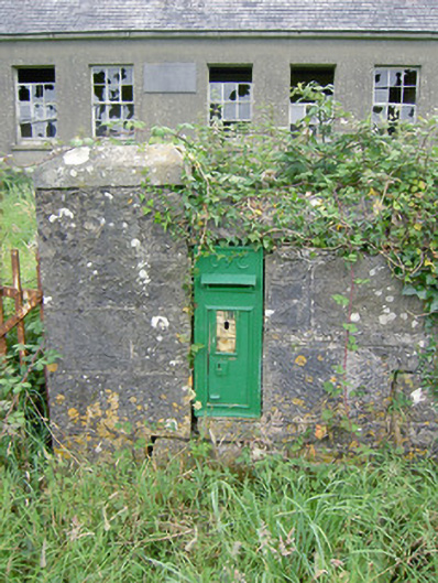 post boxpost box · 1164 yd
 Bawn in CastlereaBawn · 1.6 mi
 National Famine WayWalking route · 1.7 mi
 Graveyard in Curry (ardagh By., Coolamber Ed)Graveyard · 2.9 mi
 First World War MemorialMemorial · 3.6 mi
 Saint Mel's CathedralCathedral · 3.7 mi
 Commons North WalkVisitor information · 9.8 mi
 Wild birdsVisitor information · 9.9 mi