
What is recorded here
Half a million years of rain and ploughing have sanded the edges of a fort that still stands on a low rise in Longford pasture. The mound is barely visible above its own scarp, split by a modern field boundary, yet the drystone facing and vanished entrance prove people shaped this place before memory. What was lost is not nothing; it is the shape of life that no longer speaks its own name.
On a low rise in undulating pasture. Depicted as a circular enclosure with the designation 'Fort' on the 1837 ed. of the OS 6-inch map. Low, almost circular, dome-shaped mound of earth and stone (c. 28m E-W; c. 27m N-S) defined by a steep scarp (H 1-1.5m). The mound rises 0.3-0.4m above the scarp. It is divided into unequal portions by an E-W field boundary. The scarp has been faced with drystone-walling in relatively modern times. A report in 1986 (SMR file) recorded a fosse; it is no longer identifiable. At S the ground level falls away steeply from the base of the scarp. The original entrance is not recognisable.
Compiled by: Patrick F. O'Donovan
Date of upload: 17 November 2011
The monument record does not grant public access. Check the route and ask the landowner before entering private land.
- What survives
- Recorded monument
Places near here
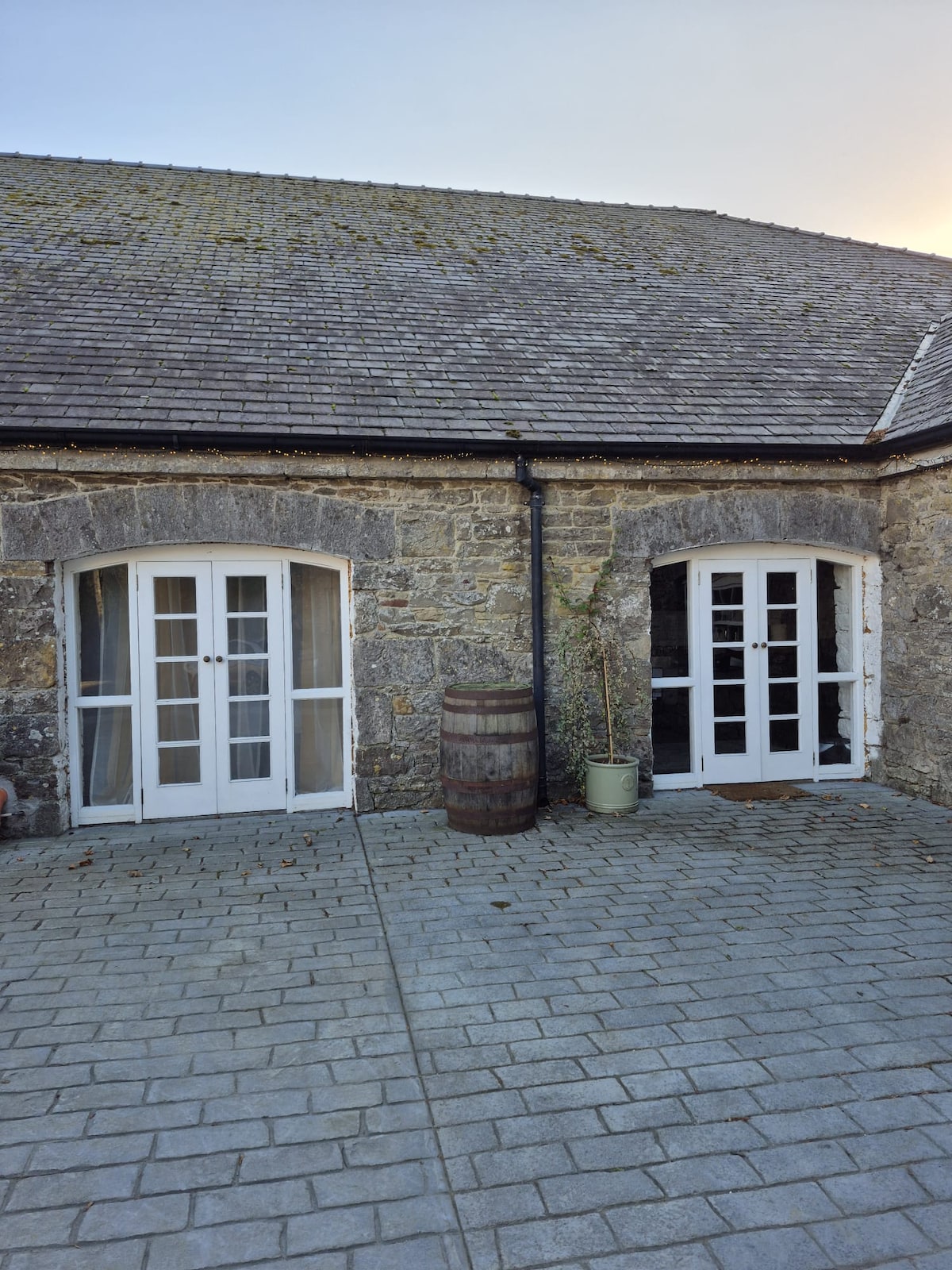 Enclosure in Bawn (moydow By.)Enclosure · 1081 yd
 Bawn Castle & NunneryHouse, fortified house · 1088 yd
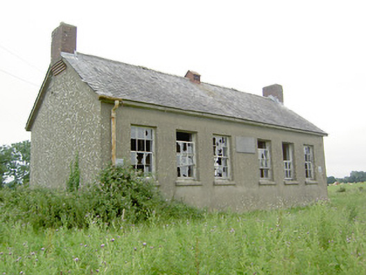 Saint Brigid's National Schoolschool · 1239 yd
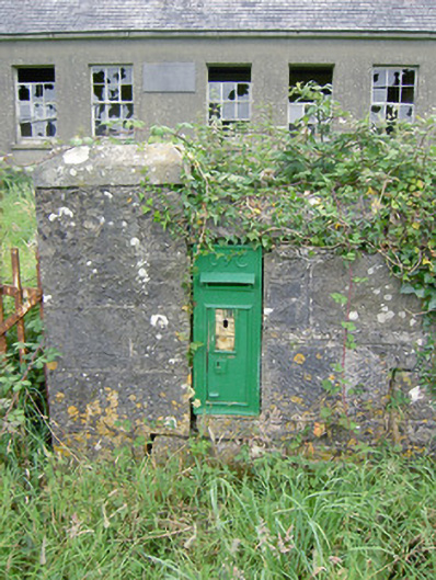 post boxpost box · 1242 yd
 BarrowBarrow, bowl-barrow · 1743 yd
 Bawn in CastlereaBawn · 1.6 mi
 National Famine WayWalking route · 1.7 mi
 Graveyard in Curry (ardagh By., Coolamber Ed)Graveyard · 2.9 mi
 First World War MemorialMemorial · 3.6 mi
 Saint Mel's CathedralCathedral · 3.6 mi
 Commons North WalkVisitor information · 9.8 mi
 Wild birdsVisitor information · 9.8 mi
Other information
Photo: Credit not shown in the picture search · Rights wording not checked; contact us if this picture should be removed