
What is recorded here
From OpenStreetMap (© OpenStreetMap contributors) w1025022349
Places near here
Photo credits
- Moyle Rovers GAA official Clubify home page; individual photographer not stated, moylerovers.clubifyapp.com
- National Inventory of Architectural Heritage
- Maker not stated on source page, www.dreamstime.com
- surrealpenguin, Wikimedia Commons · CC BY-SA 2.0
- Maker not stated on source page, tr.pinterest.com
- Maker not stated on source page, www.alamy.com
- Maker not stated on source page, commons.wikimedia.org
- Maker not stated on source page, en.wikipedia.org
- Alvesgaspar, Wikimedia Commons · CC BY-SA 3.0
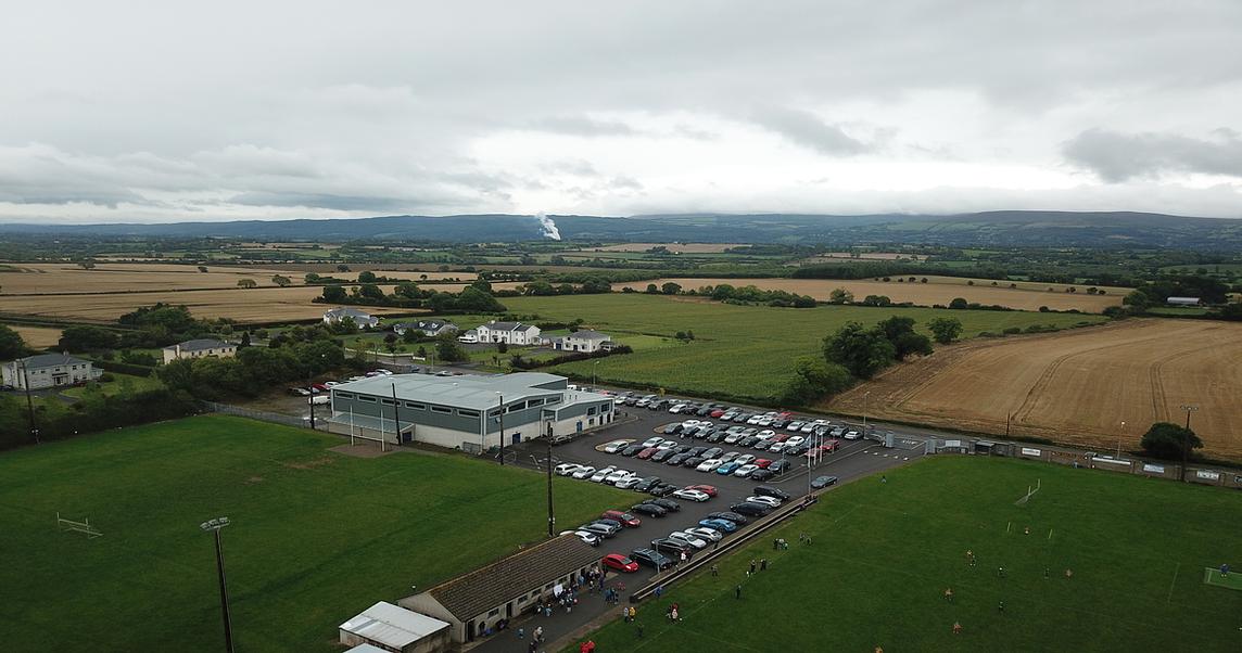 Moyle Rovers GAA pitchGAA ground · 958 yd
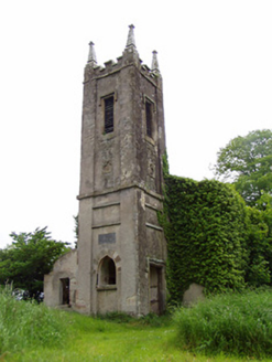 Rathronan ChurchChurch/chapel · 1279 yd
Explorer Tom Rathronan Church is sitting pretty on top of a hill, looking down at us like we’re all just a bit too noisy for its…
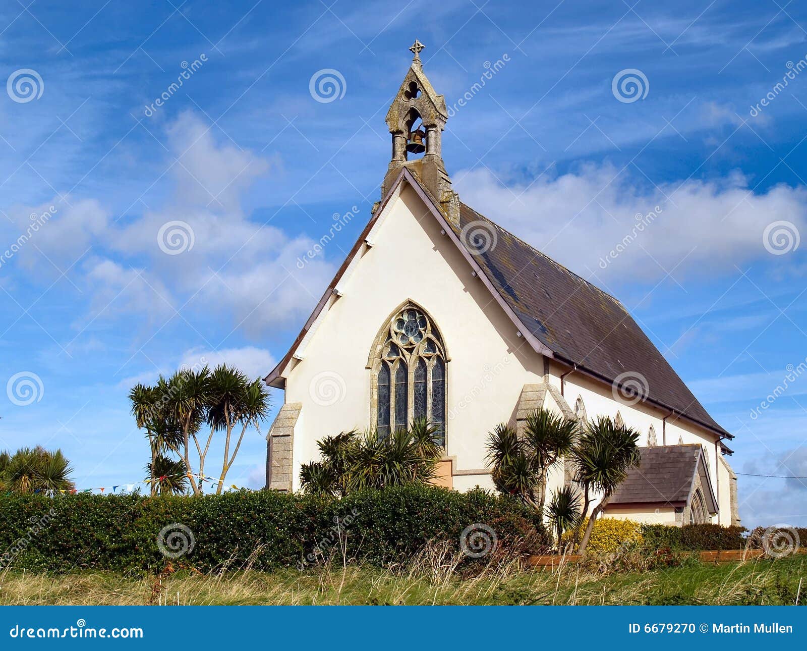 Church in Kilmore (lisronagh Par.)Church · 1.1 mi
Explorer Tom Church in Kilmore is locked in a centuries-old feud with the next village over something incredibly daft, like whose…
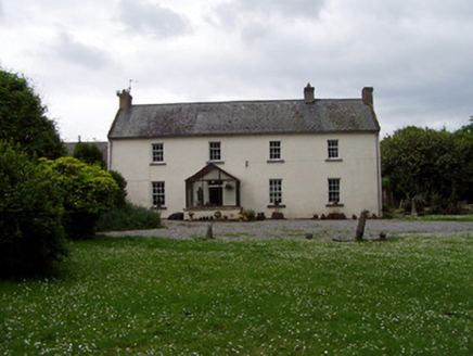 AnnsfortHouse · 1.2 mi
Explorer Tom Annsfort thinks the road leading to it is basically a conveyor belt for delivering cows straight into its cobbled yard…
 Persian Walnut1.2 mi
Explorer Tom A Persian Walnut in Tipperary is hiding a scandal that involves a very angry goat who refused to eat its nuts for…
 Mylerstown Castle (in ruins)Castle, tower house · 1.4 mi
Explorer Tom Mylerstown Castle would write on its dating profile that it prefers walls to windows and has excellent views but zero…
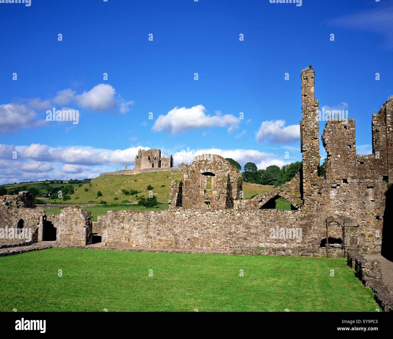 Powerstown Castle (in ruins)Castle, tower house · 1.5 mi
Explorer Tom Powerstown Castle would introduce itself as 'a distinguished gentleman with some structural issues' if it could talk…
 Earthwork in LisronaghEarthwork · 1.6 mi
Explorer Tom Earthwork in Lisronagh is playing hard to get. Lyons spotted it back in ’37, but now it’s just a bump that looks…
 Lisronagh CemeteryGraveyard · 1.8 mi
Explorer Tom Lisronagh Cemetery would survive a zombie attack by simply closing its gate and hoping nobody remembers where the exit…
 Powerstown CemeteryGraveyard · 1.8 mi
Explorer Tom Powerstown Cemetery in County Tipperary is hiding a tall tale about a tunnel that leads straight to the pub. Nobody has…
 Site of ChurchChurch · 2.1 mi
Explorer Tom Site of Church in Donaghmore has a retirement plan that involves becoming pig stables, courtesy of a parson who hated…
 Common Lime2.4 mi
Explorer Tom Common Lime in County Tipperary claims Queen Victoria visited secretly to hide from her husbands and ate an entire…
More archaeology and monuments in County Tipperary · All of County Tipperary

What do you know about this place?Tap to add a comment or ask a question