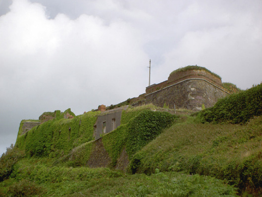
What is recorded here
Irregular-plan fortification, built c. 1800, comprising semi-circular projection to west elevation, flanked by irregularly curved ramparts terminating in demi-bastions to north-east and south-east, with ramparts continuing to form bastion to east elevation. Incorporating fabric of earlier buildings and various later additions and repairs. Roughly dressed sandstone walls with limestone string courses and dressings to openings. Some red brick additions and repairs. Remains of various buildings to site. Enclosed deep fosse constructed c. 1870.
Named in honour of the Earl of Carlisle, who was appointed Lord Lieutenant in 1870, Carlisle Fort was renamed Fort Davis when it was returned to the Irish government along with the other Treaty Ports in 1938. Built on the site of the earlier Corkbeg Fort, Carlisle Fort was designed to operate in conjunction with Camden Fort, set on a mirroring promontory across the harbour mouth. Captain John Brown of the Corps of Irish Engineers drew up plans for the works at Carlisle, which incorporating some existing fabric. The strategic importance of the harbour can be seen in the number of military buildings constructed throughout the century at this site, Fort Meagher, Spike Island, Haulbowline, etc. The 1870s saw improvement works at the site, with the construction of the deep fosse enclosing the fort, and the construction of many new buildings.
This does not grant access. Most recorded buildings are privately owned; view them only from public ground unless the owner allows entry.
Places near here
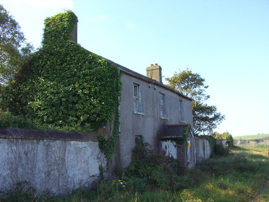 Fort Davisfortification · 148 yd
 Carlisle FortFortification · 244 yd
 Grave of Major Geoffrey Lee Compton-Smith, D.S.O.Memorial · 631 yd
 KilnKiln, corn-drying · 940 yd
 Camden FortFortification · 1364 yd
 Castle (in Ruins)Castle, unclassified · 1668 yd
 Long OrchardWood · 1.1 mi
 Whitegate War MemorialMemorial · 1.4 mi
 Castle (Site of)Castle, unclassified · 1.5 mi
 Roches PointHeadland · 1.5 mi
 Long PointHeadland · 1.6 mi
 Church Bay BeachBeach / strand · 1.6 mi
Other information
Photo: National Inventory of Architectural Heritage · Website use allowed for educational or private purposes with source credit