What is recorded here
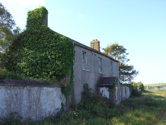
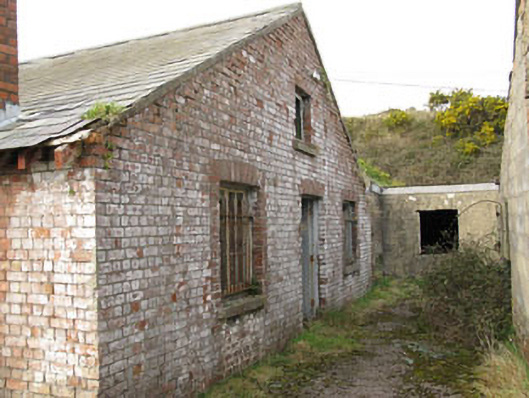
Group of fortifications, built c. 1870, now derelict. Comprising mass concrete single-bay four-storey entrance block with integral carriage arch, rectangular openings and gun loops, flanked by mass concrete walls. Pier, remains of boathouse and section of cobble paving to north. Multiple-bay single-storey barrack building to south, having red brick rendered walls, and camber-, round- and square-headed openings. Batteries, casemated gun emplacements and various chambers located to south.
Forming a pair with Fort Meagher (formerly Camden Fort) across the water, this pair was crucial to the harbour's defence. Mirroring each other in many ways, they were designed to operate as a single defensive unit and were contemporaneously updated and developed. The strategic importance of the harbour can be seen in the number of military buildings constructed throughout the centuries at this site, Fort Meagher, Spike Island, Haulbowline, etc. Cork Harbour, along with Lough Swilly and Berehaven remained in British control until 1938, at which time the Treaty Ports were returned to the Irish government. The early use of concrete adds to the site's architectural and technical interest.
This does not grant access. Most recorded buildings are privately owned; view them only from public ground unless the owner allows entry.
Places near here
 Carlisle FortFortification · 293 yd
 Grave of Major Geoffrey Lee Compton-Smith, D.S.O.Memorial · 779 yd
 KilnKiln, corn-drying · 1087 yd
 Camden FortFortification · 1226 yd
 Camden Fort Meagherworkshop · 1382 yd
 Castle (in Ruins)Castle, unclassified · 1.0 mi
 Long OrchardWood · 1.2 mi
 Castle (Site of)Castle, unclassified · 1.4 mi
 Whitegate War MemorialMemorial · 1.5 mi
 Church Bay BeachBeach / strand · 1.5 mi
 Roches PointHeadland · 1.5 mi
 Curraghbinny WoodsForest · 1.6 mi
Other information
Photo: National Inventory of Architectural Heritage · Website use allowed for educational or private purposes with source credit