What is recorded here
The remains of this cashel were carted away within living memory and no features can be discerned now. A high E-W ridge was the probable location. The site is surrounded by rocky pasture. Pre-development testing was carried out by Richard Crumlish under licence No. 07E0280 on 12 April 2007 at a site (NGR 1852/3651) in…
Read the whole record
From the National Monuments Service (Archaeological Survey of Ireland) record DG103-054
Places near here
Photo credits
- Maker not stated on source page, irelandsholywells.blogspot.com
- Maker not stated on source page, waterfordwhispersnews.com
- louise price, Wikimedia Commons · CC BY-SA 2.0
- Maker not stated on source page, www.pinterest.com
- Maker not stated on source page, roaringwaterjournal.com
- National Inventory of Architectural Heritage
- Maker not stated on source page, www.flickr.com
- Maker not stated on source page, irishheritagenews.ie
- Maker not stated on source page, www.alamy.com
- Maker not stated on source page, commons.wikimedia.org
 Holy well in KilbarronHoly well · 131 yd
Explorer Tom In Kilbarron, Ó Muirgheasa placed St Barron's well near the railway in his 1936 account. A later record called it a…
 Childrens Burial GroundChildren's burial ground · 199 yd
Explorer Tom Childrens Burial Ground in Kilbarron has an imaginary fan club that meets every Tuesday night to discuss the best songs…
 Kilbarron Old Church GraveyardGraveyard · 205 yd
Explorer Tom Kilbarron Old Church Graveyard features a 15th or 16th century ruin with a 2.4m high E gable that has no window at all.…
 Kilbarron Old ChurchChurch · 207 yd
Explorer Tom Kilbarron Old Church has five pairs of joist holes that the survey read as marks of a former gallery. A gallery without…
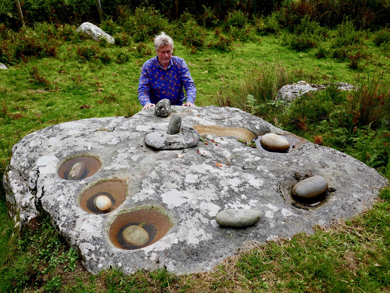 Bullaun stone in KilbarronBullaun stone · 276 yd
Explorer Tom Bullaun stone in Kilbarron is keeping its secrets! I can’t find any details on it, which makes me think it’s just a…
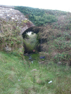 bridge469 yd
Explorer Tom Bridge in Kilbarron puts raised render around its arch like a grin. Built around 1905 for the narrow gauge railway…
 Giant's Grave Wedge TombWedge tomb · 654 yd
Explorer Tom Giant's Grave Wedge Tomb had a six-metre gallery, partly hidden by later fill, and well-preserved outer stonework in…
 An Chlochbhuaile Earthen RingfortFairy fort / earthen ringfort · 811 yd
Explorer Tom An Chlochbhuaile Earthen Ringfort is barely even a ring anymore, more like a vague suggestion of a circle in some wet…
 An Chlochbhuaile Court TombCourt tomb · 939 yd
Explorer Tom An Chlochbhuaile Court Tomb has a gallery at least seven and a half metres long, much of it hidden beneath a later…
 Dark Cliffs at KilbarronPublicly named cliff or headland · 1336 yd
Explorer Tom Dark Cliffs at Kilbarron would absolutely complain to the council about tourists not knowing their place, and honestly…
 Kilbarron Castle in ruinsCastle, tower house · 1443 yd
Explorer Tom Kilbarron Castle in ruins clings to a precipitous promontory, where the O'Clerys rebuilt their stronghold after 1390. I…
 CastleCastle, unclassified · 1458 yd
Explorer Tom Castle! Donnell O’Conor demolished this specific castle, but wait, this record is about an older one than what you see…
More archaeology and monuments in County Donegal · All of County Donegal

What do you know about this place?Tap to add a comment or ask a question