What is recorded here
Described in the Civil Survey (1654-6) as 'the foord of Lisard' (Simington 1961, vol. 10, 45), its precise location has not been identified.
Compiled by: Caimin O'Brien
Date of upload: 10 May 2012
The monument record does not grant public access. Check the route and ask the landowner before entering private land.
- What survives
- Recorded monument
Places near here
 RuinsCastle, unclassified · 239 yd
 Moat & FortCastle, motte and bailey · 559 yd
 Church in FirmountChurch · 614 yd
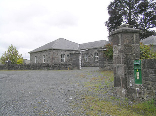 Lissard Housegates/railings/walls · 621 yd
 BarrowBarrow, embanked barrow · 1100 yd
 Enclosure in CartronreaghEnclosure · 1203 yd
 Ballinalee Forest WalkForest · 3.8 mi
 Bully's Acregraveyard/cemetery, unknown · 4.1 mi
 Granard MotteMotte-and-bailey castle remains · 5.4 mi
 1798 Monumentmonument · 5.5 mi
 CartronfreeMountain / peak · 8.4 mi
 ToomeMountain / peak · 9.3 mi