What is recorded here
Described in the Civil Survey (1654-6) as 'a foord called Aghmore' (Simington 1961, vol. 10, 46), its precise location has not been identified.
Compiled by: Caimin O'Brien
Date of upload: 9 May 2012
The monument record does not grant public access. Check the route and ask the landowner before entering private land.
- What survives
- Recorded monument
Places near here
 Partially indicatedFairy fort / earthen ringfort · 683 yd
 Partially outlinedFairy fort / earthen ringfort · 697 yd
 RoadRoad, class 1 togher · 872 yd
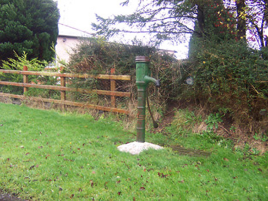 water pumpwater pump · 1032 yd
 Coolamber CastleHouse, fortified house · 1.8 mi
 CastleCastle, motte · 1.9 mi
 Granard MotteMotte-and-bailey castle remains · 4.0 mi
 1798 Monumentmonument · 4.0 mi
 Rock of CurryCliff · 4.9 mi
 CarrickMountain / peak · 5.0 mi
 Watty's RocksIslet · 5.2 mi
 Sporting RockIslet · 5.4 mi