
What is recorded here
A togher (Wth c. 2m) that was exposed at a single location during turf-cutting in 1995/1996 in Chancery townland, county Westmeath (see WM002-036----) was reportedly orientated N-S and consisted of transverse planks supported by a pair of longitudinal runners. Based on its orientation, it was suggested that it was highly likely that it extended into Rossan townland in county Longford (IAWU). The location indicated is purely conjectural based on the reported orientation.
Compiled by: Olive Alcock
Date of upload: 3 November 2013
The monument record does not grant public access. Check the route and ask the landowner before entering private land.
- What survives
- Recorded monument
Places near here
 Partially outlinedFairy fort / earthen ringfort · 893 yd
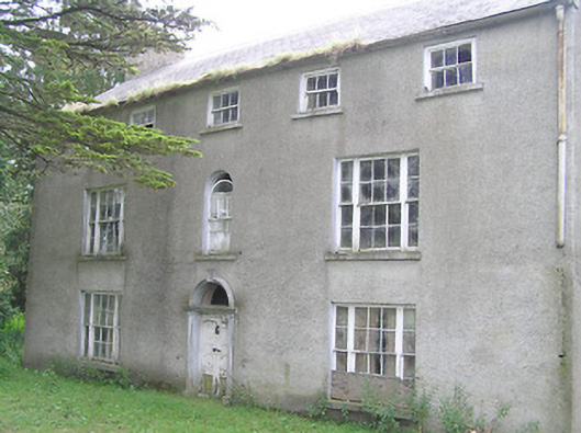 Killasona Housecountry house · 993 yd
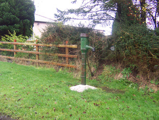 water pumpwater pump · 1136 yd
 Site of Kinard NunneryReligious house nunnery, unclassified · 1226 yd
 Coolamber CastleHouse, fortified house · 1.6 mi
 Site of Castle NugentCastle, unclassified · 2.1 mi
 Granard MotteMotte-and-bailey castle remains · 3.6 mi
 1798 Monumentmonument · 3.6 mi
 CarrickMountain / peak · 5.2 mi
 Watty's RocksIslet · 5.3 mi
 CarrickabaneMountain / peak · 5.4 mi
 Sporting RockIslet · 5.6 mi
Other information
Photo: Credit not shown in the picture search · Rights wording not checked; contact us if this picture should be removed