
What is recorded here
Situated on a natural rise of ground on well drained drained pasture-land with moderate views of the surrounding countryside. Large circular area (approx. diam. 58m N-S) enclosed by an earthen bank (approx. H 1.5m) which has been levelled from N-S-SSE with traces of a shallow external fosse visible from S-W only. From SE-S-SW-W-NNW the outside of the bank has been steepened to form parts of modern field boundaries. A gap on the SE now partly filled up may have formed the entrance. A laneway intersects the fosse from W-NW.
See attached profile of monument surveyed and drawn by the ASI.
Compiled by: Frank Coyne & Caimin O'Brien
Date of upload: 21 November 2016
A local fairy fort (ringfort/rath); wider significance not recorded.
The monument record does not grant public access. Check the route and ask the landowner before entering private land.
- What survives
- Recorded monument
Places near here
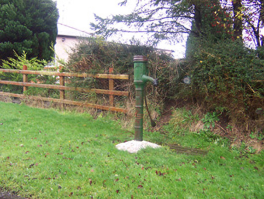 water pumpwater pump · 340 yd
 Site of Kinard NunneryReligious house nunnery, unclassified · 503 yd
 RoadRoad, class 1 togher · 893 yd
 Partially indicatedFairy fort / earthen ringfort · 1339 yd
 Coolamber CastleHouse, fortified house · 1.4 mi
 CastleCastle, motte · 1.6 mi
 Granard MotteMotte-and-bailey castle remains · 4.1 mi
 1798 Monumentmonument · 4.1 mi
 CarrickMountain / peak · 5.4 mi
 Watty's RocksIslet · 5.6 mi
 CarrickabaneMountain / peak · 5.7 mi
 Sporting RockIslet · 5.8 mi
Other information
Photo: Credit not shown in the picture search · Rights wording not checked; contact us if this picture should be removed