What is recorded here
A fording point over the Inny River in the barony of Ardagh is described in the Civil Survey (1654-6) as ‘the foord of Ballahemper’ (Simington 1961, vol. 10, 46). Emper Castle (WM010-002----) is 980m to the SW. It was located along the stretch of the Inny River that forms the boundary with the townland of Newport, Co. Longford (LF024-011----). A ford and eel weir is indicated on the Inny River between the townland of Emper and Newport, Co. Longford on the 1st ed. (1836) OS 6-inch map.
Compiled by Caimin O'Brien
Date of upload: 13 April 2012
The monument record does not grant public access. Check the route and ask the landowner before entering private land.
- What survives
- Recorded monument
Places near here
 Bawn in EmperBawn · 1069 yd
 Hachured, RathduffFairy fort / earthen ringfort · 1344 yd
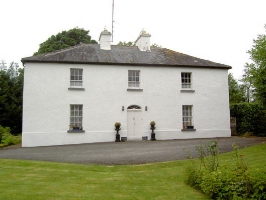 Newtown Househouse · 1.1 mi
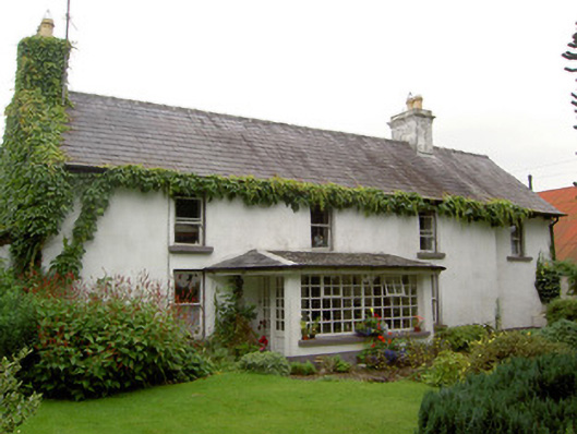 Newport Househouse · 1.2 mi
 ShawbrookForest · 1.4 mi
 Hut site in BallygarveyHut site · 1.5 mi
 Site of CastleCastle, unclassified · 1.5 mi
 Common AlderCommon Alder · 1.7 mi
 Abbeyshrule AbbeyRuins · 4.0 mi
 Saint Mel's CathedralCathedral · 12 mi
 First World War MemorialMemorial · 12 mi
 RoadRoad, class 2 togher · 1.2 mi