What is recorded here
A short right-angled stretch of masonry in the graveyard (DG004-005003-) adjacent to the modern church seems to be all that survives of a pre-17th century church (DG004-005001-) here. A small stone cross (DG004-005002-) stands to the N of these remains. It is situated in a natural enclosure of the sandhills to the N…
Read the whole record
From the National Monuments Service (Archaeological Survey of Ireland) record DG004-006
Places near here
Photo credits
- Michael Dibb, Geograph · Creative Commons Attribution-ShareAlike 2.0
- Michael Dibb, Wikimedia Commons · CC BY-SA 2.0
- David Dixon, Geograph · CC BY-SA 2.0
- Maker not stated on source page, en.wikipedia.org
- michael clarke stuff, Wikimedia Commons · CC BY-SA 2.0
- Maker not stated on source page, www.dreamstime.com
- Corinna Schleiffer, Geograph Ireland via Wikimedia Commons
- Wanfried-Dublin, Wikimedia Commons · CC BY-SA 4.0
- Kenneth Allen, Geograph · CC BY-SA 2.0
- Dr Neil Clifton, Geograph · CC BY-SA 2.0
- Caroline McLaughlin / Donegal Live, Source publisher
- Carroll Pierce, Wikimedia Commons
 St. Mary's Catholic ChurchChurch/chapel · 15 yd
Explorer Tom Step into the grounds of St. Mary's Catholic Church in Lag, built back in 1784 and reportedly the first chapel of its…
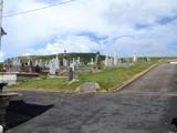 Lag GraveyardGraveyard · 29 yd
Explorer Tom Lag Graveyard lies in a natural enclosure of sandhills north of the Trawbreaga Bay channel. The survey found a short…
 Church (in Ruins)Church · 38 yd
Explorer Tom Church in Lag left a right angle of old masonry beside the modern church when surveyed. A small stone cross stood north…
 Mapped cemeteryCemetery · 42 yd
Explorer Tom “Mapped cemetery” in County Donegal has a family tree that’s mostly made up by people who just wanted to sound…
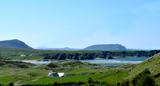 Five Finger StrandBeach / strand · 829 yd
Explorer Tom Five Fingers Strand sounds as if the Atlantic has put up a hand to stop you, and at its northern end five rock stacks…
 Bronze Age Three-Cist CemeteryFlat cemetery · 1508 yd
Explorer Tom Bronze Age Three-Cist Cemetery at Drung held a man, a woman, and an infant buried back-to-back. They were tucked in…
 Doagh Famine VillageMuseum · 1741 yd
Explorer Tom Doagh Famine Village tells this coast's history through homes, voices and a guided tour. The original thatched…
 Magheranaul Wedge TombWedge tomb · 1.9 mi
Explorer Tom Magheranaul Wedge Tomb has a single roofstone covering its gallery, with an hour-glass hole bored right through the…
 Nancy's BarnCafé · 3.9 mi
Explorer Tom Nancy's Barn serves fish that looks like it hasn't moved since the Ice Age. It would complain to the council about the…
 Ballyliffin HotelHotel · 4.0 mi
Explorer Tom Ballyliffin Hotel number one is probably the quiet one next to the church, hiding a love story that went badly wrong.…
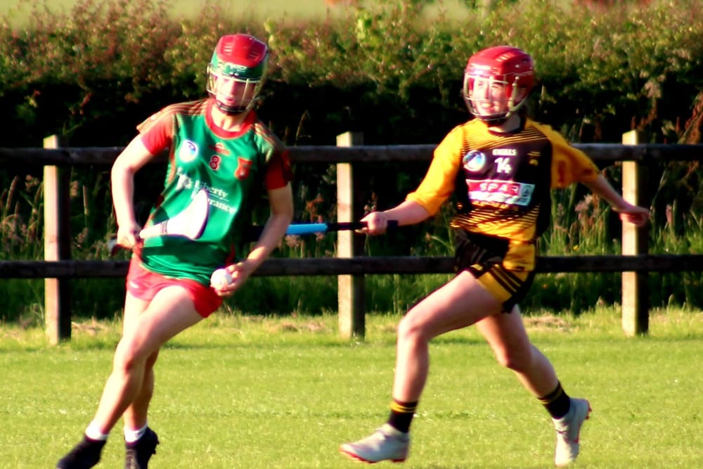 Páirc O’Dochartaigh, CarndonaghGAA ground · 5.3 mi
Explorer Tom Páirc O’Dochartaigh is Carndonagh’s Gaelic games home at Foden, where football, hurling and camogie have all found room…
 Tullagh BaySurfing beach · 5.3 mi
Explorer Tom Tullagh Bay curves below Binion Hill like someone drew a horseshoe in the sand and forgot to stop. Surfers know its…
More archaeology and monuments in County Donegal · All of County Donegal

What do you know about this place?Tap to add a comment or ask a question