What is recorded here
Castlegregory (KE027-008----) is probably that which is referred to as the 'House of Hore' by A. O'Daly in his satire 'The Tribes of Ireland' (O'Donovan 1852, 75). By 1601 the castle was in the possession of the Husseys (Fiants Irel. Eliz., No's. 6494, 6498, 6504). During the Cromwellian conquest, probably in 1649, Smith records that Walter Hussey garrisoned the castle, but being pressed by Parliament forces the garrison escaped to Minard Castle where they were subsequently 'blown up by powder' (Smith 1756, 195-6). Though standing in Smith's time, no trace of the castle remained in 1841 (OSL). A number of fragments, some undoubtedly from the Castle, are preserved in a garden at the rear of Egan's shop in Castlegregory:
(14) An irregularly-shaped sandstone basin, .3m high, with an oval depression .3m x .26m and .13m deep. The rim of the basin is partly broken and has 3 narrow holes bored to a depth of .18m. Probably a font; provenance unknown.
The above description is derived from J. Cuppage, ‘Corca Dhuibhne. Dingle Peninsula archaeological survey. Ballyferriter. Oidhreacht Chorca Dhuibhne’ (1986), no. 1003. In certain instances the entries have been revised and updated in the light of recent research.
Date of upload: 9 August 2013
The monument record does not grant public access. Check the route and ask the landowner before entering private land.
- What survives
- Recorded monument
Places near here
 Man-made underground passage in CastlegregoryMan-made underground passage · 115 yd
 Site of CastleCastle, unclassified · 499 yd
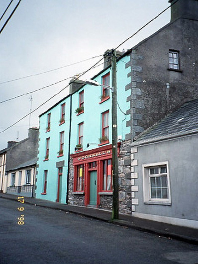 O'Donnell'shouse · 671 yd
 Saint Mary's Catholic Churchchurch/chapel · 687 yd
 Man-made underground passage in Caher (corkaguiny By.)Man-made underground passage · 896 yd
 IndicatedCastle, tower house · 1.2 mi
 Sandy Bay BeachBeach / strand · 1.5 mi
 CarrigadavMountain / peak · 2.5 mi
 Fermoyle BeachBeach / strand · 3.1 mi
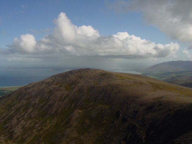 Stradbally MountainMountain / peak · 3.6 mi
 BallycurraneHeritage attraction · 3.8 mi
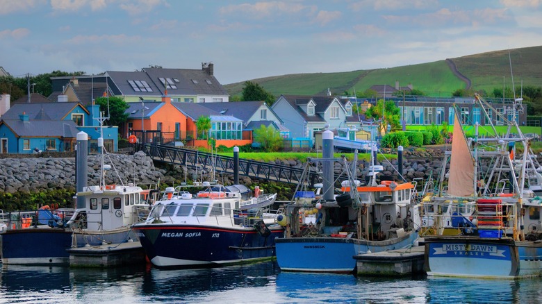 Garrywilliam PointHeadland · 3.8 mi