
Places near here
Photo credits
- National Inventory of Architectural Heritage
- Mike Searle, Geograph · CC BY-SA 2.0
- Pam Brophy, Wikimedia Commons · CC BY-SA 2.0
- Oliver Dixon, Geograph · CC BY-SA 2.0
- Kmcnamee, Wikimedia Commons · CC BY-SA 4.0
- cisko66, Wikimedia Commons · CC BY 3.0
- kevin higgins, Geograph · CC BY-SA 2.0
- Andrewmc, Wikimedia Commons
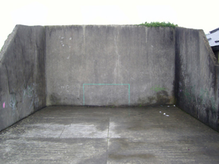 handball alley750 yd
Explorer Tom Handball alley in Danescastle has a favourite song that is just the sound of a ball bouncing off a wall at high speed.…
 Bannow HouseWalled garden · 1086 yd
Explorer Tom Bannow House ended up in the wrong place because the gardener got drunk on mulled wine and moved it three feet left.…
 Danes Castle (in ruins)Castle, tower house · 1.0 mi
Explorer Tom Danes Castle in Danescastle is guarded by a fox who thinks he's the landlord now. The undergrowth is thick enough to…
 Coolhull CastleHouse, fortified house · 1.3 mi
Explorer Tom Coolhull Castle was saved by a hero nobody remembers because he died of indigestion right after the siege. The house…
 Cullenstown StrandBeach / strand · 1.5 mi
Explorer Tom Cullenstown Strand is a long, sandy Wexford shore where Tom expects a grand crowd to applaud his arrival and gets the…
 Windmill1.5 mi
Explorer Tom Windmill in Cullenstown bragged about surviving a storm that actually just blew its own roof off and made it look like…
 Bannow Ballymitty GAAGAA ground · 1.5 mi
 Blackhall StrandBeach / strand · 1.6 mi
Explorer Tom Blackhall Strand in County Wexford would teach history by pointing at rocks and saying, 'I was here when that…
 Keeragh IslandsIsland · 2.6 mi
Explorer Tom Keeragh Islands would win the lotto and immediately buy a bigger boat, then crash it into itself out of sheer…
 Grave YardGraveyard · 4.2 mi
Explorer Tom Graveyard in Tintern says a zombie attack would be easy because the walls are tall enough to climb. It just needs to…
 Cull IslandIsland · 4.5 mi
Explorer Tom Cull Island smells like wet wool and regret, according to my nose which I trust implicitly. It’s an island that only…
 Colclough Walled GardenGarden · 4.5 mi
Explorer Tom At Colclough Walled Garden near Tintern Abbey, a river crosses a two-and-a-half-acre garden by five little bridges, as…
More archaeology and monuments in County Wexford · All of County Wexford

What do you know about this place?Tap to add a comment or ask a question