What is recorded here
Small subrectangular area projecting W into Roaringwater Bay from Sherkin Island. Defended at neck by earthen bank (H 3.3m) and fosse (D 2.4m). Interior level and eroding along edges. Casey (2002, 95) recorded a very indistinct hut site (diam. 3.5m) (CO149-015001-), centrally placed, close to the W extremity of the promontory. Updated by: Olive Alcock
Date of revised upload: 25 February 2015
From the National Monuments Service (Archaeological Survey of Ireland) record CO149-015
The monument record does not grant public access. Check the route and ask the landowner before entering private land.
- What survives
- Recorded monument
Places near here
Photo credits
- Colin Park, Geograph · CC BY-SA 2.0
- Jbuck78, Wikimedia Commons · CC BY-SA 4.0
- National Inventory of Architectural Heritage
- Podstawko, Wikimedia Commons · CC BY 4.0
- Theorlafitz, Wikimedia Commons · CC BY-SA 4.0
- nick macneill, Geograph · CC BY-SA 2.0
Drowlaun PointHeadland · 243 yd Silver StrandBeach / strand · 603 ydBurial ground in Kilmoon (sherkin Island)Burial ground · 801 ydMan-made underground passage in Cloddagh (sherkin Island)Man-made underground passage · 827 ydCow StrandBeach / strand · 903 ydWhite StrandBeach / strand · 1222 ydSherkin IslandIsland · 1285 ydSt. Mona's Roman Catholic ChurchChurch/chapel · 1436 ydfarm house1654 ydHeir IslandIsland · 1.4 miBeacon PointViewpoint · 1.9 miThe BeaconBeacon · 1.9 mi
 Silver StrandBeach / strand · 603 ydBurial ground in Kilmoon (sherkin Island)Burial ground · 801 ydMan-made underground passage in Cloddagh (sherkin Island)Man-made underground passage · 827 ydCow StrandBeach / strand · 903 yd
 White StrandBeach / strand · 1222 yd
 Sherkin IslandIsland · 1285 yd
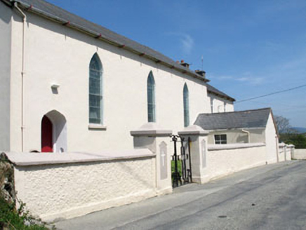 St. Mona's Roman Catholic ChurchChurch/chapel · 1436 yd
 farm house1654 yd
 Heir IslandIsland · 1.4 mi
 Beacon PointViewpoint · 1.9 mi
 The BeaconBeacon · 1.9 mi
More archaeology and monuments in County Cork · All of County Cork
What do you know about this place?