
What is recorded here
Situated on the estuary of the S-N Ballycanvan stream, on the E bank. Described as a 'water-grist mill' in the Civil Survey of c. 1655 (Simington 1942, 163). This is a large rectangular building of three bays with three floors and an attic (dims. 13m E-W; 6.9m N-S), partly excavated into bedrock. Cut-stone quoins survive and there is an opening for mill-wheel gears and a curved recess for millstones in the W wall. Causeways contain the stream to the S where there is also an intake sluice, an overflow sluice, a millrace and a millpond of c. 1 ha, all of which are stone-revetted. The millpond was filled by the incoming tide. The present remains are probably 17th century in date with later additions to the N and S walls of the original structure, including a corn-drying kiln. A small quay and access laneway with rock-cut yards are adjacent to the N.
Simington, R. C. (ed.) (1942) The Civil Survey AD 1654-1656, vi, the County of Waterford. Irish Manuscripts Commission. Dublin.
The above description is derived from the published 'Archaeological Inventory of County Waterford' (Dublin: Stationery Office, 1999). In certain instances the entries have been revised and updated in the light of recent research.
Date of upload/revision: 23 December 2008
The monument record does not grant public access. Check the route and ask the landowner before entering private land.
- What survives
- Recorded monument
Places near here
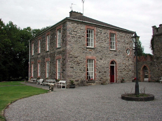 Blenheim Lodgehouse · 368 yd
 Castle (in ruins)Castle, tower house · 574 yd
 Ballycanvan Housecountry house · 655 yd
 Burnt mound in BallynabolaBurnt mound · 702 yd
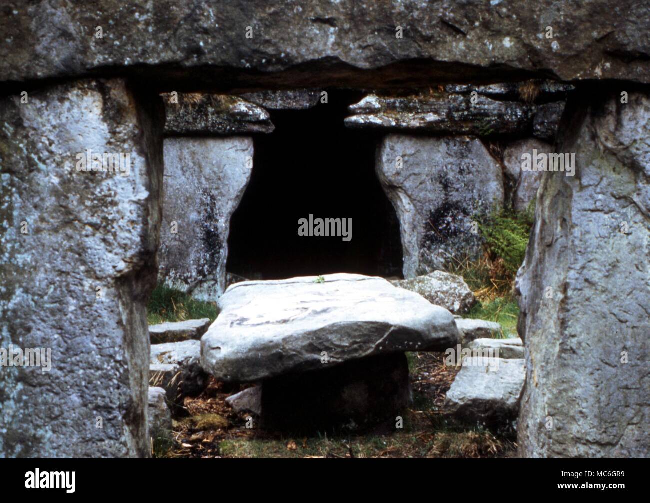 Druids AltarMegalithic structure · 1157 yd
 Ballinakill WoodsWood · 1.0 mi
 Waterford CastleCastle · 1.2 mi
 Monterey CypressMonterey Cypress · 1.8 mi
 Minaun HillMountain / peak · 2.1 mi
 The MinaunViewpoint · 2.1 mi
 Cheek PointHeadland · 2.8 mi
 Memory of the crew of "Rescue 111"Memorial · 6.9 mi
Other information
Photo: Credit not shown in the picture search · Rights wording not checked; contact us if this picture should be removed