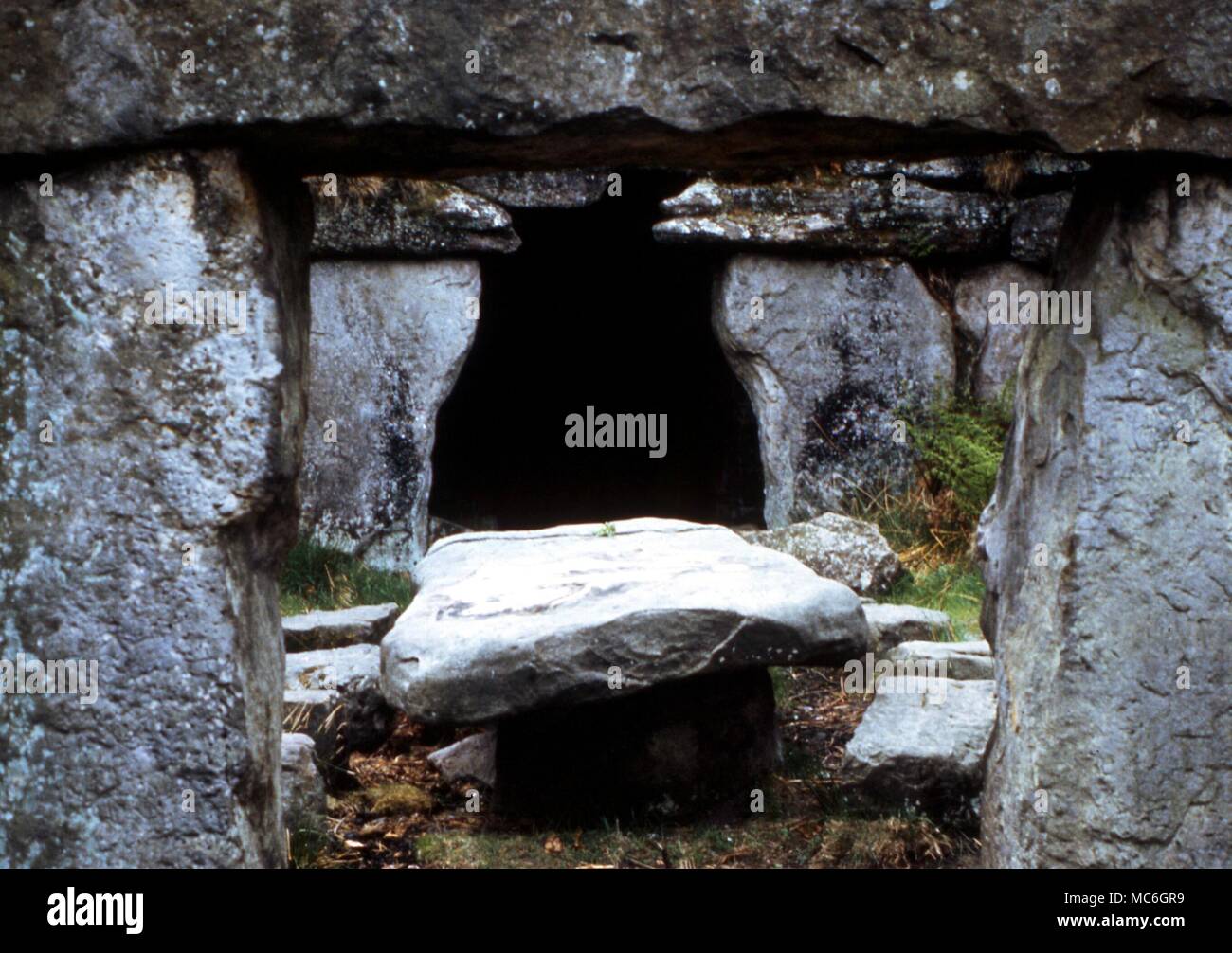
What is recorded here
Situated in woodland on a slight N-facing slope. Two parallel stones oriented E-W and a displaced lintel form a rough cist (dims. c 1.8m x c. 1.7m), while 3m to the SW two stones form the adjacent sides of a second cist (dims. c. 1.5m x 0.7m). A mound (WA018-004002-) is adjacent to the SE. (Atkins 1896, 1234)
Atkins, R. (1896) The rude stone monuments of our own and other lands. WAJ. Vol. 2, 131-61.
The above description is derived from the published 'Archaeological Inventory of County Waterford' (Dublin: Stationery Office, 1999). In certain instances the entries have been revised and updated in the light of recent research.
Date of upload/revision: 08 February 2011
The monument record does not grant public access. Check the route and ask the landowner before entering private land.
- What survives
- Recorded monument
Places near here
 Castle (in ruins)Castle, tower house · 584 yd
 Fulacht fia in BallymaclodeFulacht fia · 612 yd
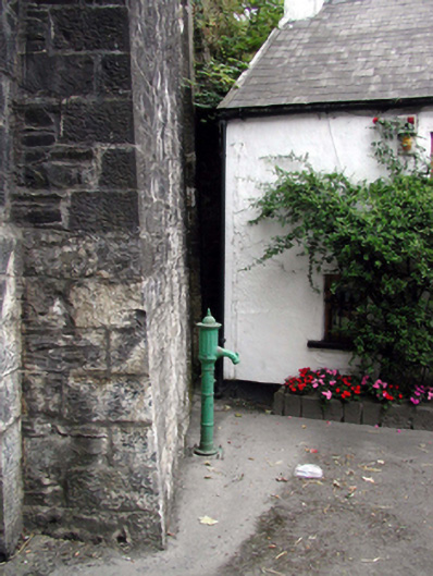 water pumpwater pump · 690 yd
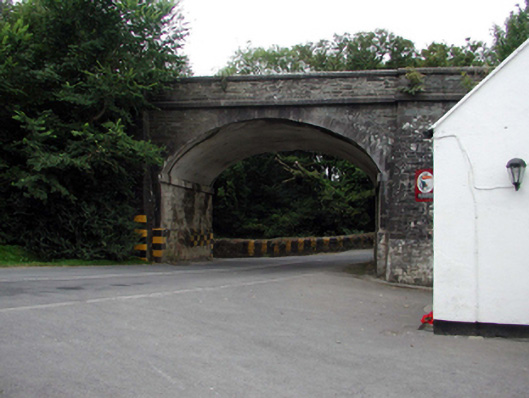 bridgebridge · 692 yd
 Burnt mound in BallynabolaBurnt mound · 1063 yd
 Ballinakill WoodsWood · 1681 yd
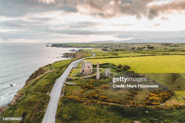 MoteCastle, motte · 1.9 mi
 Monterey CypressMonterey Cypress · 2.0 mi
 Tramore Tourist OfficeVisitor information · 6.7 mi
 Mount Congreve GardensHeritage attraction · 7.2 mi
 Waterford & Suir Valley RailwayHeritage attraction · 8.7 mi
 Ballyscanlon HillMountain / peak · 8.8 mi
Other information
Photo: Credit not shown in the picture search · Rights wording not checked; contact us if this picture should be removed