
What is recorded here
On a W-facing slope. Oval area of burnt and broken stone (dims. 15.5m E-W; 11m N-S) visible in a ploughed field. A fulacht fiadh site (WA018-060002-) is c. 30m to ENE.
The above description is derived from the published 'Archaeological Inventory of County Waterford' (Dublin: Stationery Office, 1999). In certain instances the entries have been revised and updated in the light of recent research.
Date of upload/revision: 23 December 2008
A burnt mound; likely Bronze Age. Associated with a fulacht fiadh, suggesting domestic or ritual activity.
The monument record does not grant public access. Check the route and ask the landowner before entering private land.
- What survives
- Recorded monument
Places near here
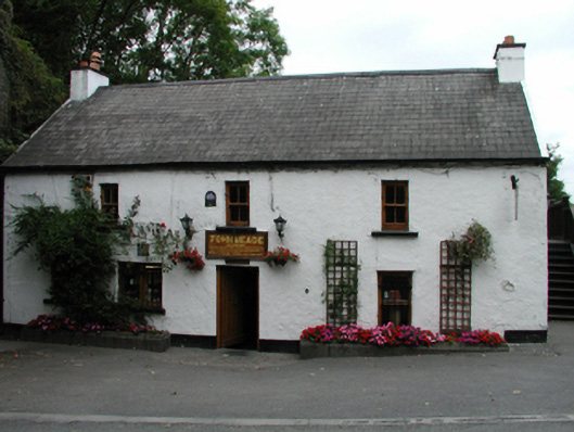 John Meadehouse · 412 yd
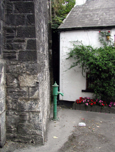 water pumpwater pump · 420 yd
 Castle (in ruins)Castle, tower house · 662 yd
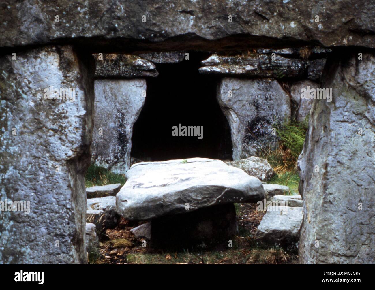 Druids AltarMegalithic structure · 1063 yd
 Burnt mound in Cross (gaultiere By., Kill St. Nicholas Par.)Burnt mound · 1313 yd
 Ballinakill WoodsWood · 1.3 mi
 MoteCastle, motte · 1.4 mi
 Monterey CypressMonterey Cypress · 2.2 mi
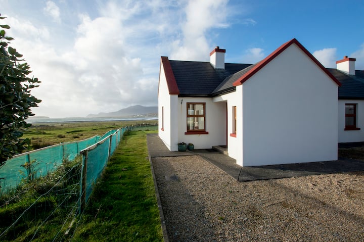 Minaun HillMountain / peak · 2.2 mi
 The MinaunViewpoint · 2.2 mi
 Memory of the crew of "Rescue 111"Memorial · 6.7 mi
 Mount Congreve GardensHeritage attraction · 7.8 mi
Other information
Photo: Credit not shown in the picture search · Rights wording not checked; contact us if this picture should be removed